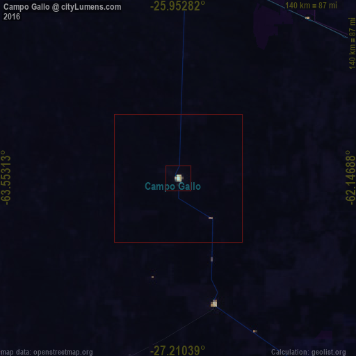
Campo Gallo night lights from space
Night Light of Campo Gallo (Santiago del Estero) from space (Argentina) Src. Average luminocity for 10x10km area is 5.9129% and for 50x50km: 0.2723%.
Analysis of Campo Gallo night lights 2016
Square area 10x10 km:
 0.57%
0.57%90-99
0.19%80-89
2.84%70-79
0.76%60-69
0.95%50-59
0%40-49
0%30-39
0.76%20-29
1.33%10-19
0.95%0-9
91.67%Square area 50x50 km:
0.02%90-99
0.01%80-89
0.12%70-79
0.03%60-69
0.04%50-59
0.01%40-49
0.05%30-39
0.03%20-29
0.05%10-19
0.04%0-9
99.6%Clear (daylight) street map image can be seen on geolist.org.
Map coordinates:
25° 57' 10.2" South, 63° 33' 11.3" West
26° 34' 60" South, 62° 51' 0" West
27° 12' 37.4" South, 62° 8' 48.8" West
Some cities around Campo Gallo sort by population:
• Charata
179.1 km =111.3 mi,  113°
113°
• General Pinedo
175.4 km =109 mi,  117°
117°
• Quimilí
125.7 km =78.1 mi,  160°
160°
• Clodomira
168 km =104.4 mi,  229°
229°
• Taco Pozo
115.4 km =71.7 mi,  338°
338°
• Pampa del Infierno
166.9 km =103.7 mi,  87°
87°
• Los Frentones
144.3 km =89.7 mi,  82°
82°
• Suncho Corral
160.7 km =99.9 mi,  200°
200°
3863136 (p: 5,455)
Sources (retrieved 2019-11-25):
» Earth at Night: Flat Maps 2012, 2016