Charata night lights from space
Night Light of Charata (Chaco) from space (Argentina) Src. Average luminocity for 10x10km area is 26.339% and for 50x50km: 3.0073%.
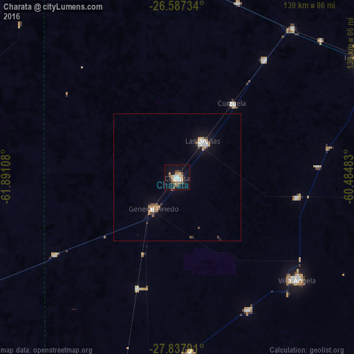
Analysis of Charata night lights 2016
Square area 10x10 km:
 4.55%
4.55%90-99
3.03%80-89
2.08%70-79
4.92%60-69
4.73%50-59
3.41%40-49
2.08%30-39
3.03%20-29
3.6%10-19
24.24%0-9
44.32%Square area 50x50 km:
0.45%90-99
0.34%80-89
0.27%70-79
0.45%60-69
0.44%50-59
0.27%40-49
0.43%30-39
0.31%20-29
0.29%10-19
1.87%0-9
94.87%Clear (daylight) street map image can be seen on geolist.org.
Map coordinates:
26° 35' 14.4" South, 61° 53' 27.9" West
27° 12' 51.8" South, 61° 11' 16.6" West
27° 50' 16.5" South, 60° 29' 5.4" West
Some cities around Charata sort by population:
• Villa Ángela
61.4 km =38.2 mi,  130°
130°
• Las Breñas
17.4 km =10.8 mi,  37°
37°
• General Pinedo
14.8 km =9.2 mi,  219°
219°
• San Bernardo
47.7 km =29.6 mi,  99°
99°
• Campo Largo
57.3 km =35.6 mi, 36°
• Corzuela
36.2 km =22.5 mi, 36°
• Coronel Du Graty
58.4 km =36.3 mi,  152°
152°
• Hermoso Campo
46.4 km =28.8 mi,  199°
199°
3861678 (p: 27,813)
Sources (retrieved 2019-11-25):
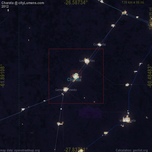
» Earth at Night: Flat Maps 2012, 2016