Pampa del Infierno night lights from space
Night Light of Pampa del Infierno (Chaco) from space (Argentina) Src. Average luminocity for 10x10km area is 10.3655% and for 50x50km: 0.854%.
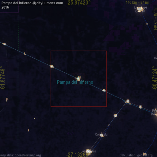
Analysis of Pampa del Infierno night lights 2016
Square area 10x10 km:
 0.76%
0.76%90-99
1.33%80-89
1.14%70-79
2.27%60-69
1.89%50-59
2.27%40-49
0.95%30-39
2.27%20-29
0%10-19
0%0-9
87.12%Square area 50x50 km:
0.1%90-99
0.11%80-89
0.17%70-79
0.09%60-69
0.17%50-59
0.15%40-49
0.11%30-39
0.13%20-29
0.03%10-19
0%0-9
98.94%Clear (daylight) street map image can be seen on geolist.org.
Map coordinates:
25° 52' 27.2" South, 61° 52' 39" West
26° 30' 18.6" South, 61° 10' 27.7" West
27° 7' 57.6" South, 60° 28' 16.5" West
Some cities around Pampa del Infierno sort by population:
• Charata
78.9 km =49 mi,  180°
180°
• Las Breñas
65.6 km =40.8 mi,  171°
171°
• Tres Isletas
76.1 km =47.3 mi,  76°
76°
• Campo Largo
46.6 km =29 mi,  134°
134°
• Corzuela
53.9 km =33.5 mi,  157°
157°
• Aviá Terai
48.6 km =30.2 mi,  114°
114°
• Los Frentones
26.2 km =16.3 mi,  294°
294°
• Concepción del Bermejo
25 km =15.5 mi, 114°
3842142 (p: 8,176)
Sources (retrieved 2019-11-25):
» Earth at Night: Flat Maps 2012, 2016