Quimilí night lights from space
Night Light of Quimilí (Santiago del Estero) from space (Argentina) Src. Average luminocity for 10x10km area is 17.3254% and for 50x50km: 0.7509%.
Analysis of Quimilí night lights 2016
Square area 10x10 km:
 2.18%
2.18%90-99
0.99%80-89
4.76%70-79
2.78%60-69
2.78%50-59
1.39%40-49
0.2%30-39
3.17%20-29
1.59%10-19
4.37%0-9
75.79%Square area 50x50 km:
0.08%90-99
0.04%80-89
0.18%70-79
0.13%60-69
0.11%50-59
0.05%40-49
0.01%30-39
0.15%20-29
0.06%10-19
0.2%0-9
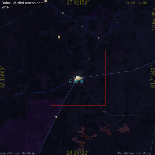
98.97%Clear (daylight) street map image can be seen on geolist.org.
Map coordinates:
27° 1' 17.5" South, 63° 7' 10.8" West
27° 38' 46.1" South, 62° 24' 59.6" West
28° 16' 2" South, 61° 42' 48.3" West
Some cities around Quimilí sort by population:
• Charata
130.4 km =81 mi,  68°
68°
• Las Breñas
145.6 km =90.5 mi,  64°
64°
• Añatuya
99.4 km =61.8 mi,  204°
204°
• General Pinedo
117.6 km =73.1 mi, 71°
• Santa Sylvina
127.6 km =79.3 mi,  99°
99°
• Hermoso Campo
105.7 km =65.7 mi,  87°
87°
• Suncho Corral
104.6 km =65 mi,  252°
252°
• Campo Gallo
125.7 km =78.1 mi,  340°
340°
3839565 (p: 10,959)
Sources (retrieved 2019-11-25):
» Earth at Night: Flat Maps 2012, 2016