Maciá night lights from space
Night Light of Maciá (Entre Rios) from space (Argentina) Src. Average luminocity for 10x10km area is 5.1521% and for 50x50km: 0.9272%.
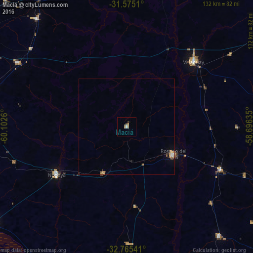
Analysis of Maciá night lights 2016
Square area 10x10 km:
 0.7%
0.7%90-99
0.7%80-89
0%70-79
1.57%60-69
0.87%50-59
1.05%40-49
0.17%30-39
1.22%20-29
0%10-19
0.7%0-9
93.01%Square area 50x50 km:
0.11%90-99
0.09%80-89
0.12%70-79
0.26%60-69
0.12%50-59
0.09%40-49
0.02%30-39
0.27%20-29
0.12%10-19
0.15%0-9
98.65%Clear (daylight) street map image can be seen on geolist.org.
Map coordinates:
31° 34' 30.4" South, 60° 6' 9.4" West
32° 10' 19.9" South, 59° 23' 58.1" West
32° 45' 55.5" South, 58° 41' 46.9" West
Some cities around Maciá sort by population:
• Villaguay
49 km =30.4 mi,  45°
45°
• Victoria
86.5 km =53.7 mi,  235°
235°
• Crespo
86.9 km =54 mi,  280°
280°
• Rosario del Tala
28 km =17.4 mi,  121°
121°
• Viale
66.5 km =41.3 mi,  300°
300°
• General Ramírez
75.4 km =46.9 mi,  269°
269°
• Urdinarrain
74.3 km =46.2 mi,  140°
140°
• Villa María Grande
73.6 km =45.7 mi,  319°
319°
3430968 (p: 5,806)
Sources (retrieved 2019-11-25):
» Earth at Night: Flat Maps 2012, 2016