Villaguay night lights from space
Night Light of Villaguay (Entre Rios) from space (Argentina) Src. Average luminocity for 10x10km area is 24.8278% and for 50x50km: 1.3903%.
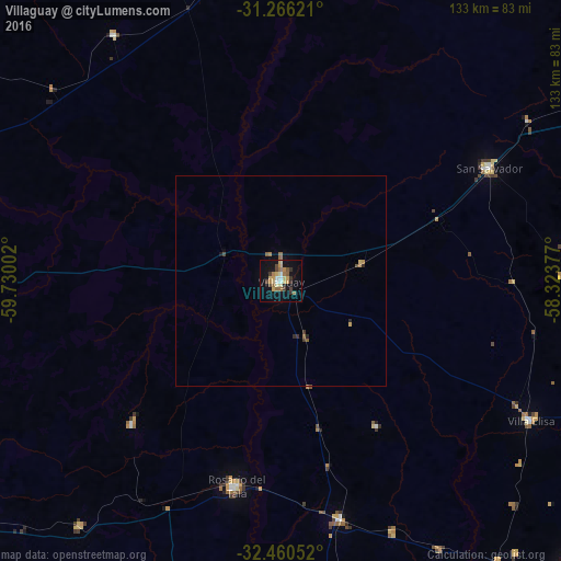
Analysis of Villaguay night lights 2016
Square area 10x10 km:
 1.83%
1.83%90-99
1.83%80-89
6.04%70-79
4.03%60-69
3.85%50-59
3.48%40-49
3.3%30-39
4.21%20-29
1.47%10-19
21.43%0-9
48.53%Square area 50x50 km:
0.07%90-99
0.07%80-89
0.28%70-79
0.22%60-69
0.27%50-59
0.24%40-49
0.19%30-39
0.25%20-29
0.16%10-19
0.95%0-9
97.31%Clear (daylight) street map image can be seen on geolist.org.
Map coordinates:
31° 15' 58.4" South, 59° 43' 48.1" West
31° 51' 55.1" South, 59° 1' 36.8" West
32° 27' 37.9" South, 58° 19' 25.6" West
Some cities around Villaguay sort by population:
• Paysandú, UY
102.3 km =63.6 mi,  119°
119°
• Concepción del Uruguay
101.7 km =63.2 mi,  132°
132°
• Rosario del Tala
49.9 km =31 mi,  192°
192°
• San Salvador
56.1 km =34.9 mi,  61°
61°
• Viale
92.6 km =57.5 mi,  269°
269°
• Urdinarrain
92.1 km =57.2 mi,  172°
172°
• Bovril
70.3 km =43.7 mi,  325°
325°
• Maciá
49 km =30.4 mi,  225°
225°
3427428 (p: 32,027)
Sources (retrieved 2019-11-25):
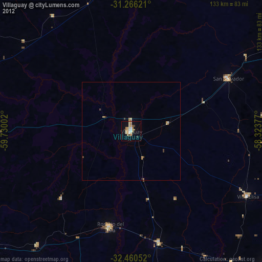
» Earth at Night: Flat Maps 2012, 2016