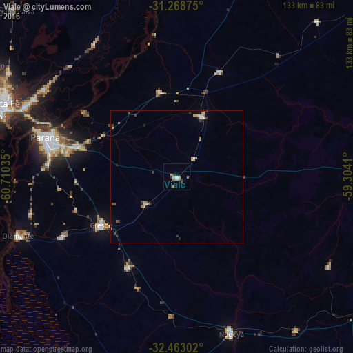
Viale night lights from space
Night Light of Viale (Entre Rios) from space (Argentina) Src. Average luminocity for 10x10km area is 9.8974% and for 50x50km: 1.5356%.
Analysis of Viale night lights 2016
Square area 10x10 km:
 1.28%
1.28%90-99
0.92%80-89
0.73%70-79
2.2%60-69
1.83%50-59
1.83%40-49
0.73%30-39
1.83%20-29
0.92%10-19
0.18%0-9
87.55%Square area 50x50 km:
0.17%90-99
0.12%80-89
0.22%70-79
0.22%60-69
0.27%50-59
0.17%40-49
0.2%30-39
0.34%20-29
0.2%10-19
0.23%0-9
97.86%Clear (daylight) street map image can be seen on geolist.org.
Map coordinates:
31° 16' 7.5" South, 60° 42' 37.3" West
31° 52' 4.2" South, 60° 0' 26" West
32° 27' 46.9" South, 59° 18' 14.8" West
Some cities around Viale sort by population:
• Santa Fe
70.6 km =43.9 mi,  290°
290°
• Paraná
51.5 km =32 mi, 286°
• Diamante
63.5 km =39.5 mi,  249°
249°
• Crespo
33.4 km =20.8 mi,  237°
237°
• General Ramírez
38.8 km =24.1 mi,  208°
208°
• Villa María Grande
24.6 km =15.3 mi,  23°
23°
• San Benito
42.1 km =26.2 mi,  282°
282°
• Maciá
66.5 km =41.3 mi,  120°
120°
3832959 (p: 8,939)
Sources (retrieved 2019-11-25):
» Earth at Night: Flat Maps 2012, 2016