Malanje night lights from space
Night Light of Malanje from space (Angola) Src. Average luminocity for 10x10km area is 40.0498% and for 50x50km: 2.0794%.
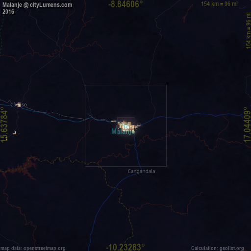
Analysis of Malanje night lights 2016
Square area 10x10 km:
 3.25%
3.25%90-99
6.28%80-89
4.33%70-79
9.52%60-69
11.69%50-59
5.84%40-49
2.6%30-39
4.11%20-29
1.95%10-19
39.61%0-9
10.82%Square area 50x50 km:
0.13%90-99
0.25%80-89
0.17%70-79
0.37%60-69
0.48%50-59
0.34%40-49
0.21%30-39
0.26%20-29
0.21%10-19
2.2%0-9
95.38%Clear (daylight) street map image can be seen on geolist.org.
Map coordinates:
8° 50' 45.8" South, 15° 38' 16.2" East
9° 32' 24.5" South, 16° 20' 27.5" East
10° 13' 58.2" South, 17° 2' 38.7" East
Some cities around Malanje sort by population:
• N’dalatando
159.1 km =98.9 mi,  279°
279°
• Uíge
256.7 km =159.5 mi,  326°
326°
• Camacupa
302.3 km =187.8 mi,  155°
155°
• Catabola
307.9 km =191.3 mi, 160°
• Camabatela
184 km =114.3 mi,  324°
324°
• Uacu Cungo
242.3 km =150.6 mi,  213°
213°
• Quibala
199.5 km =124 mi,  228°
228°
• Chissamba
311.5 km =193.6 mi, 159°
2239862 (p: 87,046)
Sources (retrieved 2019-11-25):
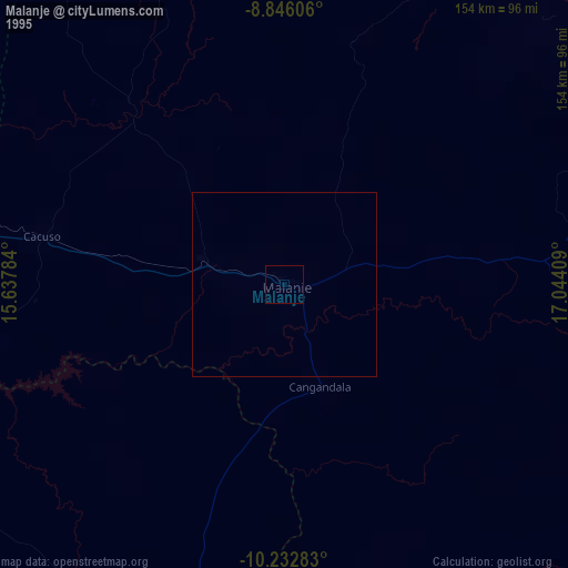
» NASA, Earths city lights 1995
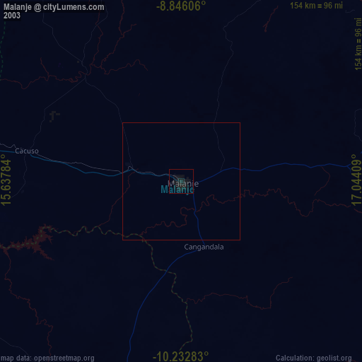
» NASA city lights 2003
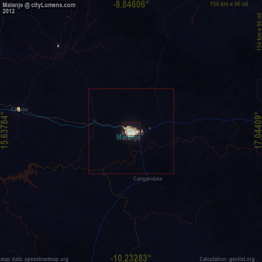
» Earth at Night: Flat Maps 2012, 2016