Camabatela night lights from space
Night Light of Camabatela (Cuanza Norte) from space (Angola) Src. Average luminocity for 10x10km area is 2.0021% and for 50x50km: 0.0859%.
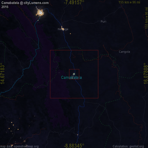
Analysis of Camabatela night lights 2016
Square area 10x10 km:
 0%
0%90-99
0%80-89
0%70-79
0%60-69
0.62%50-59
1.03%40-49
0.83%30-39
0.83%20-29
0.62%10-19
0.21%0-9
95.87%Square area 50x50 km:
0%90-99
0%80-89
0%70-79
0%60-69
0.03%50-59
0.04%40-49
0.03%30-39
0.03%20-29
0.03%10-19
0.01%0-9
99.83%Clear (daylight) street map image can be seen on geolist.org.
Map coordinates:
7° 29' 29.7" South, 14° 40' 18.6" East
8° 11' 17.2" South, 15° 22' 29.8" East
8° 53' 0.4" South, 16° 4' 41.1" East
Some cities around Camabatela sort by population:
• Luanda
246.2 km =153 mi,  252°
252°
• N’dalatando
133.5 km =83 mi,  202°
202°
• Malanje
184 km =114.3 mi,  144°
144°
• Uíge
73.1 km =45.4 mi,  331°
331°
• Caxito
193.1 km =120 mi,  257°
257°
• Mbanza Congo
247.6 km =153.9 mi, 329°
• Kasongo-Lunda, CD
247.9 km =154 mi,  39°
39°
• Quibala
286.3 km =177.9 mi,  188°
188°
2242885 (p: 12,837)
Sources (retrieved 2019-11-25):
» Earth at Night: Flat Maps 2012, 2016