N’dalatando night lights from space
Night Light of N’dalatando (Cuanza Norte) from space (Angola) Src. Average luminocity for 10x10km area is 14.3009% and for 50x50km: 0.8788%.
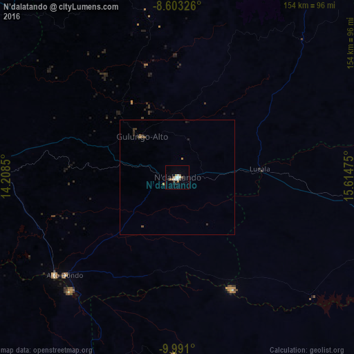
Analysis of N’dalatando night lights 2016
Square area 10x10 km:
 2.81%
2.81%90-99
3.25%80-89
0%70-79
2.6%60-69
1.73%50-59
1.73%40-49
1.73%30-39
0%20-29
0.65%10-19
1.08%0-9
84.42%Square area 50x50 km:
0.11%90-99
0.13%80-89
0%70-79
0.14%60-69
0.17%50-59
0.1%40-49
0.14%30-39
0.21%20-29
0.14%10-19
0.08%0-9
98.78%Clear (daylight) street map image can be seen on geolist.org.
Map coordinates:
8° 36' 11.7" South, 14° 12' 30.6" East
9° 17' 52.2" South, 14° 54' 41.8" East
9° 59' 27.6" South, 15° 36' 53.1" East
Some cities around N’dalatando sort by population:
• Luanda
191.2 km =118.8 mi,  285°
285°
• Malanje
159.1 km =98.9 mi,  99°
99°
• Uíge
188.5 km =117.1 mi,  5°
5°
• Sumbe
242.2 km =150.5 mi,  208°
208°
• Caxito
158.6 km =98.5 mi,  300°
300°
• Camabatela
133.5 km =83 mi,  22°
22°
• Uacu Cungo
230 km =142.9 mi,  174°
174°
• Quibala
159.8 km =99.3 mi,  177°
177°
2239076 (p: 383,100)
Sources (retrieved 2019-11-25):
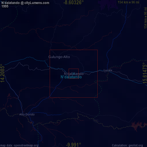
» NASA, Earths city lights 1995
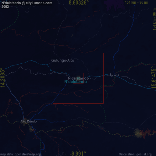
» NASA city lights 2003
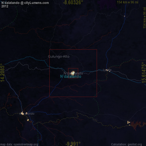
» Earth at Night: Flat Maps 2012, 2016