Uíge night lights from space
Night Light of Uíge from space (Angola) Src. Average luminocity for 10x10km area is 35.8074% and for 50x50km: 1.8638%.
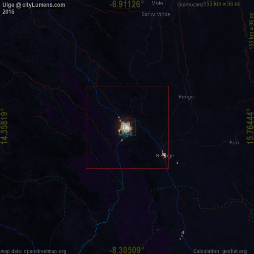
Analysis of Uíge night lights 2016
Square area 10x10 km:
 3.25%
3.25%90-99
2.81%80-89
4.98%70-79
10.17%60-69
9.52%50-59
4.76%40-49
5.63%30-39
1.3%20-29
5.19%10-19
31.6%0-9
20.78%Square area 50x50 km:
0.13%90-99
0.11%80-89
0.19%70-79
0.49%60-69
0.44%50-59
0.29%40-49
0.3%30-39
0.05%20-29
0.23%10-19
1.53%0-9
96.24%Clear (daylight) street map image can be seen on geolist.org.
Map coordinates:
6° 54' 40.5" South, 14° 21' 29.5" East
7° 36' 31.5" South, 15° 3' 40.7" East
8° 18' 18.3" South, 15° 45' 52" East
Some cities around Uíge sort by population:
• Luanda
243 km =151 mi,  235°
235°
• N’dalatando
188.5 km =117.1 mi,  185°
185°
• Malanje
256.7 km =159.5 mi,  146°
146°
• Caxito
187.8 km =116.7 mi,  234°
234°
• Mbanza Congo
174.6 km =108.5 mi,  328°
328°
• Kasongo-Lunda, CD
231 km =143.5 mi,  57°
57°
• N'zeto
245.6 km =152.6 mi,  279°
279°
• Camabatela
73.1 km =45.4 mi, 151°
2236568 (p: 60,008)
Sources (retrieved 2019-11-25):
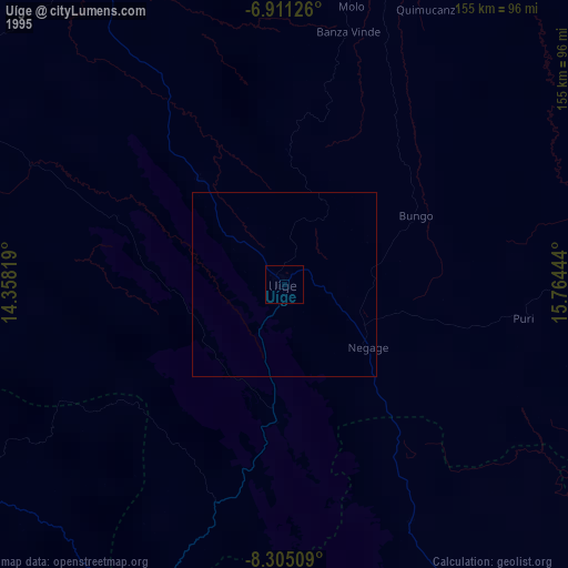
» NASA, Earths city lights 1995
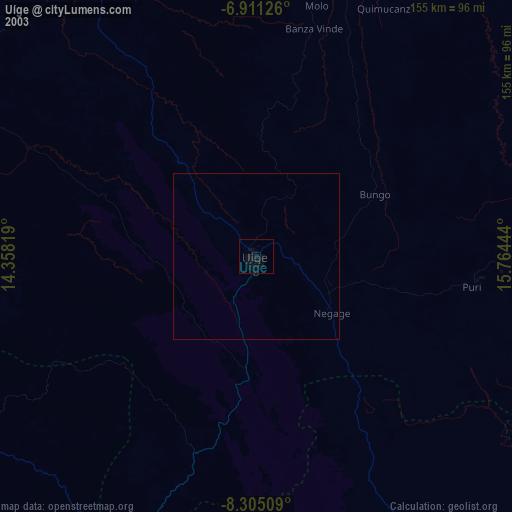
» NASA city lights 2003
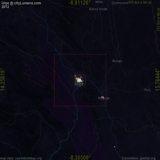
» Earth at Night: Flat Maps 2012, 2016