Luau night lights from space
Night Light of Luau (Moxico) from space (Angola) Src. Average luminocity for 10x10km area is 3.2893% and for 50x50km: 0.134%.
Analysis of Luau night lights 2016
Square area 10x10 km:
 0.62%
0.62%90-99
0.21%80-89
0.41%70-79
1.45%60-69
0.62%50-59
0%40-49
0.41%30-39
0.41%20-29
0%10-19
0%0-9
95.87%Square area 50x50 km:
0.03%90-99
0.01%80-89
0.02%70-79
0.06%60-69
0.03%50-59
0%40-49
0.02%30-39
0.02%20-29
0%10-19
0%0-9
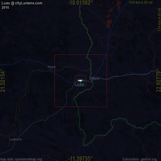
99.83%Clear (daylight) street map image can be seen on geolist.org.
Map coordinates:
10° 0' 56.2" South, 21° 31' 17.5" East
10° 42' 26.2" South, 22° 13' 28.8" East
11° 23' 50.5" South, 22° 55' 40" East
Some cities around Luau sort by population:
• Kolwezi, CD
354.2 km =220.1 mi,  90°
90°
• Kamina, CD
374.8 km =232.9 mi,  54°
54°
• Saurimo
231.9 km =144.1 mi,  300°
300°
• Luena
278.7 km =173.2 mi,  244°
244°
• Lucapa
301.8 km =187.5 mi,  327°
327°
• Mwinilunga, ZM
266.3 km =165.5 mi,  115°
115°
• Zambezi, ZM
329.5 km =204.7 mi,  163°
163°
• Léua
220.1 km =136.8 mi, 241°
876177 (p: 18,465)
Sources (retrieved 2019-11-25):
» Earth at Night: Flat Maps 2012, 2016