Saurimo night lights from space
Night Light of Saurimo (Lunda Sul) from space (Angola) Src. Average luminocity for 10x10km area is 34.6039% and for 50x50km: 1.8952%.
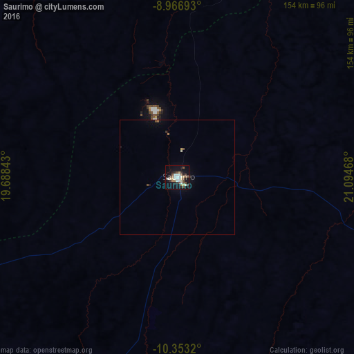
Analysis of Saurimo night lights 2016
Square area 10x10 km:
 5.41%
5.41%90-99
8.01%80-89
4.76%70-79
1.08%60-69
2.6%50-59
7.79%40-49
4.98%30-39
4.33%20-29
6.06%10-19
34.2%0-9
20.78%Square area 50x50 km:
0.22%90-99
0.37%80-89
0.22%70-79
0.05%60-69
0.16%50-59
0.37%40-49
0.26%30-39
0.23%20-29
0.23%10-19
1.64%0-9
96.26%Clear (daylight) street map image can be seen on geolist.org.
Map coordinates:
8° 58' 0.9" South, 19° 41' 18.3" East
9° 39' 38.8" South, 20° 23' 29.6" East
10° 21' 11.5" South, 21° 5' 40.8" East
Some cities around Saurimo sort by population:
• Tshikapa, CD
363.6 km =225.9 mi,  7°
7°
• Luena
241.6 km =150.1 mi,  192°
192°
• Lucapa
143.4 km =89.1 mi,  15°
15°
• Camacupa
411.7 km =255.8 mi,  230°
230°
• Catabola
437.9 km =272.1 mi, 230°
• Luau
231.9 km =144.1 mi,  120°
120°
• Chissamba
434.9 km =270.2 mi, 230°
• Léua
221.3 km =137.5 mi,  178°
178°
145531 (p: 40,498)
Sources (retrieved 2019-11-25):
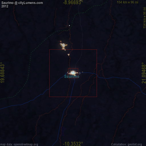
» Earth at Night: Flat Maps 2012, 2016