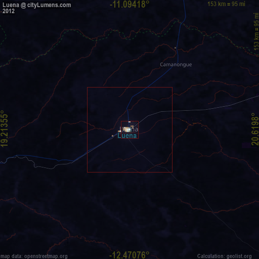
Luena night lights from space
Night Light of Luena (Moxico) from space (Angola) Src. Average luminocity for 10x10km area is 21.3058% and for 50x50km: 1.0633%.
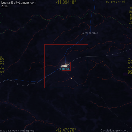
Analysis of Luena night lights 2016
Square area 10x10 km:
 2.89%
2.89%90-99
2.89%80-89
4.13%70-79
2.07%60-69
0.41%50-59
3.31%40-49
4.34%30-39
2.48%20-29
2.69%10-19
11.57%0-9
63.22%Square area 50x50 km:
0.13%90-99
0.13%80-89
0.17%70-79
0.12%60-69
0.02%50-59
0.17%40-49
0.21%30-39
0.1%20-29
0.13%10-19
0.5%0-9
98.32%Clear (daylight) street map image can be seen on geolist.org.
Map coordinates:
11° 5' 39" South, 19° 12' 48.8" East
11° 46' 60" South, 19° 55' 0" East
12° 28' 14.7" South, 20° 37' 11.3" East
Some cities around Luena sort by population:
• Cuito
331.2 km =205.8 mi,  258°
258°
• Saurimo
241.6 km =150.1 mi,  12°
12°
• Lucapa
384.9 km =239.2 mi, 13°
• Camacupa
266 km =165.3 mi, 264°
• Catabola
289.3 km =179.8 mi, 261°
• Luau
278.7 km =173.2 mi,  64°
64°
• Chissamba
284.2 km =176.6 mi, 261°
• Léua
59.9 km =37.2 mi,  75°
75°
3347719 (p: 21,115)
Sources (retrieved 2019-11-25):
» Earth at Night: Flat Maps 2012, 2016