Korçë night lights from space
Night Light of Korçë from space (Albania) Src. Average luminocity for 10x10km area is 13.9188% and for 50x50km: 0.7587%.
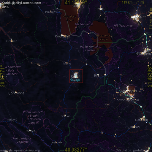
Analysis of Korçë night lights 2016
Square area 10x10 km:
 1.79%
1.79%90-99
4.71%80-89
0.65%70-79
1.14%60-69
0.32%50-59
2.27%40-49
0.81%30-39
1.95%20-29
1.14%10-19
1.79%0-9
83.44%Square area 50x50 km:
0.07%90-99
0.29%80-89
0.03%70-79
0.07%60-69
0.04%50-59
0.09%40-49
0.03%30-39
0.1%20-29
0.1%10-19
0.15%0-9
99.02%Clear (daylight) street map image can be seen on geolist.org.
Map coordinates:
41° 9' 0.7" North, 20° 4' 39.8" East
40° 37' 7" North, 20° 46' 51" East
40° 4' 58" North, 21° 29' 2.3" East
Some cities around Korçë sort by population:
• Pogradec
33.4 km =20.8 mi,  341°
341°
• Ohrid, MK
55.5 km =34.5 mi,  1°
1°
• Resen, MK
55.8 km =34.7 mi,  20°
20°
• Çorovodë
48.5 km =30.1 mi,  254°
254°
• Kastoria, GR
42.2 km =26.2 mi,  104°
104°
• Ersekë
32.4 km =20.1 mi,  195°
195°
• Argos Orestiko, GR
44.4 km =27.6 mi,  114°
114°
• Bilisht
17.7 km =11 mi,  86°
86°
782756 (p: 58,259)
Sources (retrieved 2019-11-25):
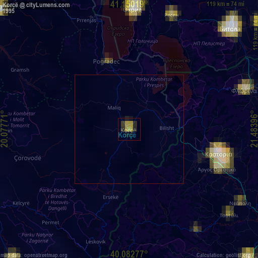
» NASA, Earths city lights 1995
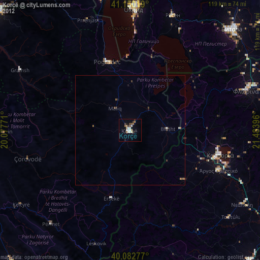
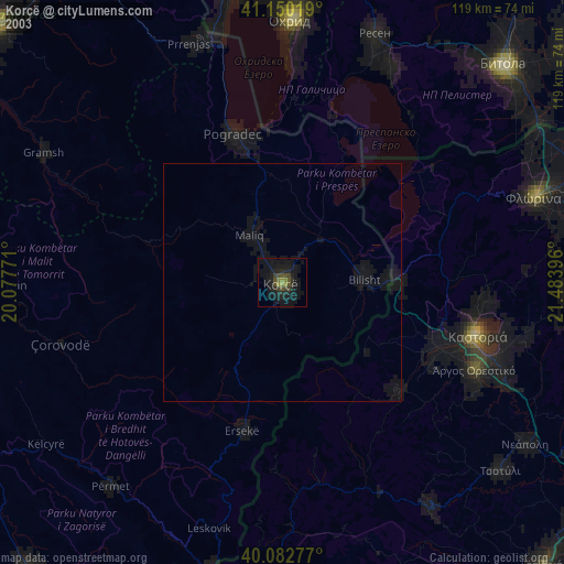
» NASA city lights 2003
» Earth at Night: Flat Maps 2012, 2016