Ohrid night lights from space
Night Light of Ohrid from space (North Macedonia) Src. Average luminocity for 10x10km area is 22.2744% and for 50x50km: 2.2791%.
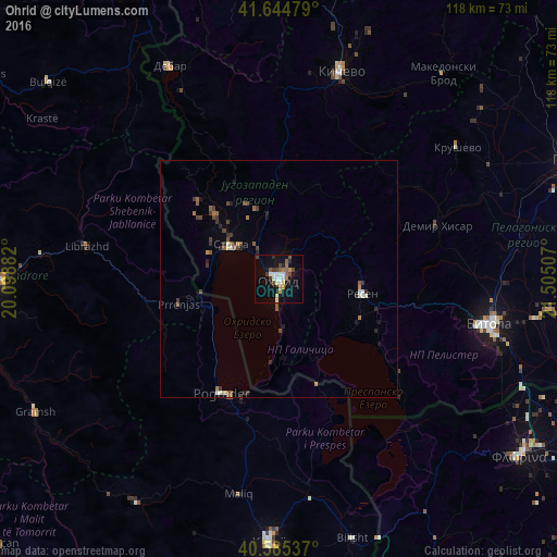
Analysis of Ohrid night lights 2016
Square area 10x10 km:
 2.76%
2.76%90-99
4.55%80-89
1.46%70-79
2.92%60-69
2.27%50-59
2.92%40-49
3.9%30-39
2.6%20-29
1.95%10-19
21.27%0-9
53.41%Square area 50x50 km:
0.15%90-99
0.36%80-89
0.12%70-79
0.17%60-69
0.28%50-59
0.51%40-49
0.45%30-39
0.58%20-29
0.45%10-19
1.05%0-9
95.87%Clear (daylight) street map image can be seen on geolist.org.
Map coordinates:
41° 38' 41.2" North, 20° 5' 55.8" East
41° 7' 2" North, 20° 48' 7" East
40° 35' 7.3" North, 21° 30' 18.3" East
Some cities around Ohrid sort by population:
• Pogradec, AL
27 km =16.8 mi,  207°
207°
• Struga
12.4 km =7.7 mi,  303°
303°
• Resen
17.8 km =11.1 mi,  100°
100°
• Labunista
24.1 km =15 mi,  314°
314°
• Velesta
19.1 km =11.9 mi,  316°
316°
• Delogožda
17 km =10.6 mi,  336°
336°
• Belčišta
20.8 km =12.9 mi,  6°
6°
• Vevčani
22.2 km =13.8 mi, 308°
787487 (p: 54,908)
Sources (retrieved 2019-11-25):
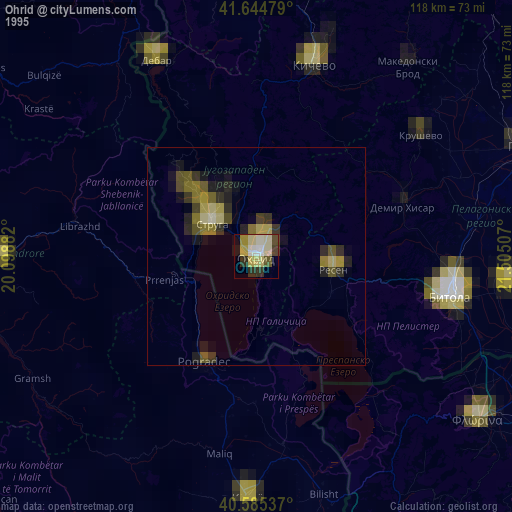
» NASA, Earths city lights 1995
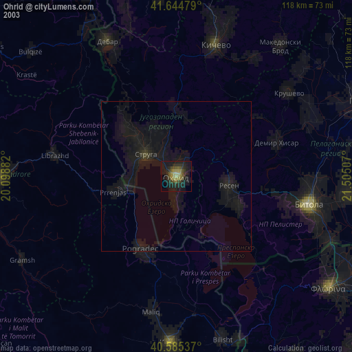
» NASA city lights 2003
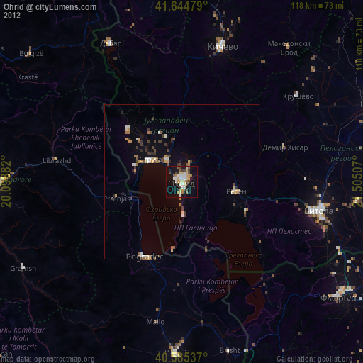
» Earth at Night: Flat Maps 2012, 2016