Pogradec night lights from space
Night Light of Pogradec (Korçë) from space (Albania) Src. Average luminocity for 10x10km area is 5.3571% and for 50x50km: 1.0484%.
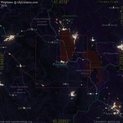
Analysis of Pogradec night lights 2016
Square area 10x10 km:
 0.34%
0.34%90-99
1.02%80-89
0.68%70-79
0%60-69
0.85%50-59
2.55%40-49
0.17%30-39
1.19%20-29
0%10-19
1.02%0-9
92.18%Square area 50x50 km:
0.1%90-99
0.24%80-89
0.07%70-79
0.09%60-69
0.11%50-59
0.16%40-49
0.18%30-39
0.18%20-29
0.1%10-19
0.71%0-9
98.06%Clear (daylight) street map image can be seen on geolist.org.
Map coordinates:
41° 25' 54.5" North, 19° 56' 57.8" East
40° 54' 9" North, 20° 39' 9" East
40° 22' 8.1" North, 21° 21' 20.3" East
Some cities around Pogradec sort by population:
• Korçë
33.4 km =20.8 mi,  161°
161°
• Ohrid, MK
27 km =16.8 mi,  27°
27°
• Struga, MK
30.7 km =19.1 mi,  3°
3°
• Resen, MK
36.6 km =22.7 mi,  55°
55°
• Gramsh
39.5 km =24.5 mi,  264°
264°
• Velesta, MK
37.6 km =23.4 mi,  358°
358°
• Delogožda, MK
39.9 km =24.8 mi,  8°
8°
• Vevčani, MK
37.9 km =23.5 mi,  352°
352°
781988 (p: 61,530)
Sources (retrieved 2019-11-25):
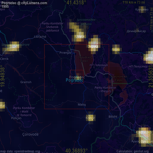
» NASA, Earths city lights 1995
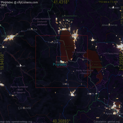
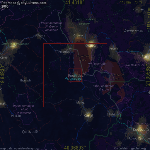
» NASA city lights 2003
» Earth at Night: Flat Maps 2012, 2016