Çorovodë night lights from space
Night Light of Çorovodë (Berat) from space (Albania) Src. Average luminocity for 10x10km area is 1.6259% and for 50x50km: 0.6083%.
Analysis of Çorovodë night lights 2016
Square area 10x10 km:
 0%
0%90-99
0.68%80-89
0%70-79
0%60-69
0.51%50-59
0.85%40-49
0%30-39
0%20-29
0%10-19
0%0-9
97.96%Square area 50x50 km:
0.08%90-99
0.13%80-89
0.04%70-79
0.08%60-69
0.09%50-59
0.08%40-49
0.1%30-39
0.13%20-29
0.13%10-19
0.09%0-9
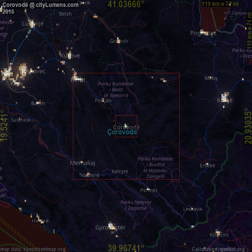
99.06%Clear (daylight) street map image can be seen on geolist.org.
Map coordinates:
41° 2' 12" North, 19° 31' 26.8" East
40° 30' 15" North, 20° 13' 38" East
39° 58' 2.7" North, 20° 55' 49.3" East
Some cities around Çorovodë sort by population:
• Berat
32.3 km =20.1 mi,  314°
314°
• Kuçovë
42.1 km =26.2 mi,  321°
321°
• Tepelenë
29.1 km =18.1 mi,  217°
217°
• Gramsh
40.8 km =25.4 mi,  354°
354°
• Përmet
31.9 km =19.8 mi,  160°
160°
• Poliçan
16.2 km =10.1 mi, 317°
• Ballsh
42.9 km =26.7 mi,  284°
284°
• Ersekë
42.5 km =26.4 mi,  115°
115°
783408 (p: 14,046)
Sources (retrieved 2019-11-25):
» Earth at Night: Flat Maps 2012, 2016