Zarghūn Shahr night lights from space
Night Light of Zarghūn Shahr (Paktika) from space (Afghanistan) Src. Average luminocity for 10x10km area is 0% and for 50x50km: 0%.
Analysis of Zarghūn Shahr night lights 2016
Square area 10x10 km:
 0%
0%90-99
0%80-89
0%70-79
0%60-69
0%50-59
0%40-49
0%30-39
0%20-29
0%10-19
0%0-9
100%Square area 50x50 km:
0%90-99
0%80-89
0%70-79
0%60-69
0%50-59
0%40-49
0%30-39
0%20-29
0%10-19
0%0-9
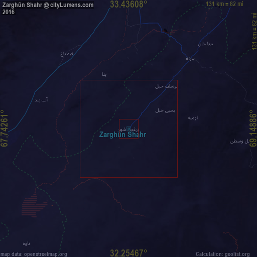
100%Clear (daylight) street map image can be seen on geolist.org.
Map coordinates:
33° 26' 9.9" North, 67° 44' 33.4" East
32° 50' 50.4" North, 68° 26' 44.6" East
32° 15' 16.8" North, 69° 8' 55.9" East
Some cities around Zarghūn Shahr sort by population:
• Ghazni
78.6 km =48.8 mi,  358°
358°
• Gardez
110.6 km =68.7 mi,  41°
41°
• Khōst
147.9 km =91.9 mi,  68°
68°
• Baraki Barak
133 km =82.6 mi,  20°
20°
• Pul-e ‘Alam
138.4 km =86 mi, 22°
• Qalāt
166.1 km =103.2 mi,  240°
240°
• Zaṟah Sharan
46.4 km =28.8 mi, 44°
• Sharan
45.1 km =28 mi, 36°
1120863 (p: 13,737)
Sources (retrieved 2019-11-25):
» Earth at Night: Flat Maps 2012, 2016