Qalāt night lights from space
Night Light of Qalāt (Zabul) from space (Afghanistan) Src. Average luminocity for 10x10km area is 1.7815% and for 50x50km: 0.0737%.
Analysis of Qalāt night lights 2016
Square area 10x10 km:
 0%
0%90-99
0%80-89
0%70-79
0.52%60-69
0.87%50-59
0%40-49
1.4%30-39
0%20-29
0%10-19
0.7%0-9
96.5%Square area 50x50 km:
0%90-99
0%80-89
0%70-79
0.02%60-69
0.04%50-59
0%40-49
0.06%30-39
0%20-29
0%10-19
0.03%0-9
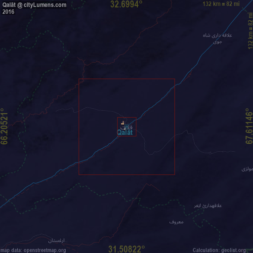
99.86%Clear (daylight) street map image can be seen on geolist.org.
Map coordinates:
32° 41' 57.8" North, 66° 12' 18.8" East
32° 6' 20.7" North, 66° 54' 30" East
31° 30' 29.6" North, 67° 36' 41.3" East
Some cities around Qalāt sort by population:
• Kandahār
125.7 km =78.1 mi,  244°
244°
• Chaman, PK
139 km =86.4 mi,  198°
198°
• Pishin, PK
169.6 km =105.4 mi,  177°
177°
• Zarghūn Shahr
166.1 km =103.2 mi,  60°
60°
• Uruzgān
95 km =59 mi,  344°
344°
• Tarinkot
113 km =70.2 mi,  301°
301°
• Alik Ghund, PK
188.9 km =117.4 mi,  162°
162°
• Khadan Khak, PK
168.7 km =104.8 mi,  153°
153°
1130131 (p: 12,191)
Sources (retrieved 2019-11-25):
» Earth at Night: Flat Maps 2012, 2016