Zindah Jān night lights from space
Night Light of Zindah Jān (Herat) from space (Afghanistan) Src. Average luminocity for 10x10km area is 0% and for 50x50km: 0.106%.
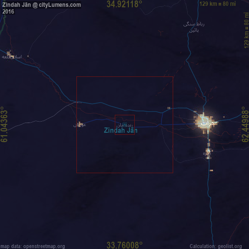
Analysis of Zindah Jān night lights 2016
Square area 10x10 km:
 0%
0%90-99
0%80-89
0%70-79
0%60-69
0%50-59
0%40-49
0%30-39
0%20-29
0%10-19
0%0-9
100%Square area 50x50 km:
0%90-99
0%80-89
0%70-79
0%60-69
0%50-59
0.08%40-49
0.03%30-39
0.06%20-29
0.05%10-19
0.04%0-9
99.75%Clear (daylight) street map image can be seen on geolist.org.
Map coordinates:
34° 55' 16.2" North, 61° 2' 37.1" East
34° 20' 33.5" North, 61° 44' 48.3" East
33° 45' 36.3" North, 62° 26' 59.6" East
Some cities around Zindah Jān sort by population:
• Herāt
41.6 km =25.8 mi,  89°
89°
• Tāybād, IR
99.3 km =61.7 mi,  296°
296°
• Kafir Qala
72 km =44.7 mi, 300°
• Karukh
78.5 km =48.8 mi,  78°
78°
• Qarah Bāgh
66.5 km =41.3 mi,  2°
2°
• Kuhsān
61.1 km =38 mi, 304°
• Chahār Burj
42.3 km =26.3 mi,  104°
104°
• Tīr Pul
52 km =32.3 mi, 302°
1120711 (p: 10,104)
Sources (retrieved 2019-11-25):
» Earth at Night: Flat Maps 2012, 2016