Herāt night lights from space
Night Light of Herāt (Herat) from space (Afghanistan) Src. Average luminocity for 10x10km area is 58.8168% and for 50x50km: 3.5986%.
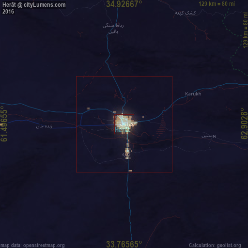
Analysis of Herāt night lights 2016
Square area 10x10 km:
 2.2%
2.2%90-99
10.26%80-89
29.3%70-79
4.58%60-69
6.78%50-59
6.78%40-49
6.96%30-39
5.31%20-29
14.1%10-19
13.37%0-9
0.37%Square area 50x50 km:
0.08%90-99
0.44%80-89
1.22%70-79
0.28%60-69
0.39%50-59
0.36%40-49
0.54%30-39
0.52%20-29
0.96%10-19
2.79%0-9
92.42%Clear (daylight) street map image can be seen on geolist.org.
Map coordinates:
34° 55' 36" North, 61° 29' 47.6" East
34° 20' 53.4" North, 62° 11' 58.8" East
33° 45' 56.3" North, 62° 54' 10.1" East
Some cities around Herāt sort by population:
• Kafir Qala
109.7 km =68.2 mi,  288°
288°
• Karukh
38.4 km =23.9 mi,  67°
67°
• Qarah Bāgh
76.4 km =47.5 mi,  329°
329°
• Kuhsān
97.9 km =60.8 mi, 290°
• Chahār Burj
11.5 km =7.1 mi,  183°
183°
• Zindah Jān
41.6 km =25.8 mi,  269°
269°
• Tīr Pul
89.6 km =55.7 mi, 287°
• Serhetabat, TM
104.4 km =64.9 mi,  7°
7°
1140026 (p: 272,806)
Sources (retrieved 2019-11-25):
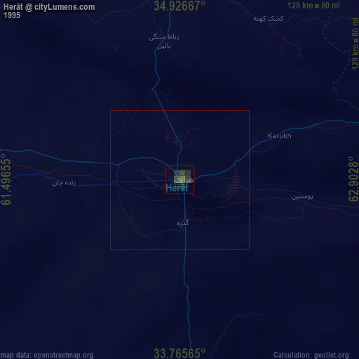
» NASA, Earths city lights 1995
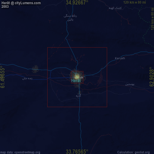
» NASA city lights 2003
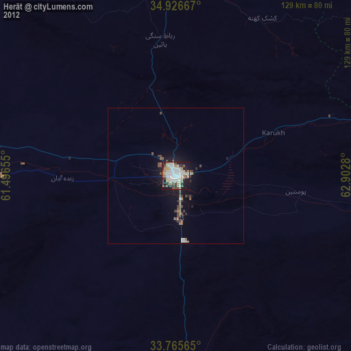
» Earth at Night: Flat Maps 2012, 2016