Qala i Naw night lights from space
Night Light of Qala i Naw (Badghis) from space (Afghanistan) Src. Average luminocity for 10x10km area is 0.1538% and for 50x50km: 0.0167%.
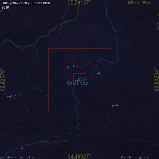
Analysis of Qala i Naw night lights 2016
Square area 10x10 km:
 0%
0%90-99
0%80-89
0%70-79
0%60-69
0%50-59
0%40-49
0%30-39
0%20-29
0.37%10-19
0.37%0-9
99.27%Square area 50x50 km:
0%90-99
0%80-89
0%70-79
0%60-69
0%50-59
0%40-49
0%30-39
0.03%20-29
0.01%10-19
0.01%0-9
99.94%Clear (daylight) street map image can be seen on geolist.org.
Map coordinates:
35° 33' 40.9" North, 62° 25' 32.8" East
34° 59' 14.5" North, 63° 7' 44.1" East
34° 24' 33.4" North, 63° 49' 55.3" East
Some cities around Qala i Naw sort by population:
• Herāt
110.8 km =68.8 mi,  230°
230°
• Ghormach
101.7 km =63.2 mi,  35°
35°
• Karukh
75 km =46.6 mi,  221°
221°
• Shahrak
145.5 km =90.4 mi,  132°
132°
• Qarah Bāgh
123.4 km =76.7 mi,  267°
267°
• Chahār Burj
119.1 km =74 mi, 226°
• Zindah Jān
145.3 km =90.3 mi,  240°
240°
• Serhetabat, TM
78.5 km =48.8 mi,  294°
294°
1129867 (p: 9,000)
Sources (retrieved 2019-11-25):
» Earth at Night: Flat Maps 2012, 2016