Serhetabat night lights from space
Night Light of Serhetabat (Mary) from space (Turkmenistan) Src. Average luminocity for 10x10km area is 16.1591% and for 50x50km: 0.9827%.
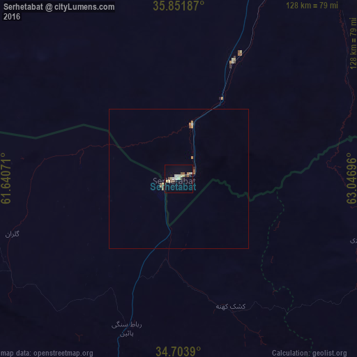
Analysis of Serhetabat night lights 2016
Square area 10x10 km:
 0.7%
0.7%90-99
3.67%80-89
4.37%70-79
0.7%60-69
0.87%50-59
2.45%40-49
1.4%30-39
1.57%20-29
1.75%10-19
3.5%0-9
79.02%Square area 50x50 km:
0.03%90-99
0.19%80-89
0.2%70-79
0.12%60-69
0.1%50-59
0.18%40-49
0.12%30-39
0.08%20-29
0.11%10-19
0.15%0-9
98.74%Clear (daylight) street map image can be seen on geolist.org.
Map coordinates:
35° 51' 6.7" North, 61° 38' 26.6" East
35° 16' 47.7" North, 62° 20' 37.8" East
34° 42' 14" North, 63° 2' 49.1" East
Some cities around Serhetabat sort by population:
• Herāt, AF
104.4 km =64.9 mi,  187°
187°
• Karukh, AF
91.5 km =56.9 mi,  166°
166°
• Qarah Bāgh, AF
64 km =39.8 mi,  233°
233°
• Kuhsān, AF
125.5 km =78 mi,  236°
236°
• Chahār Burj, AF
115.9 km =72 mi, 186°
• Zindah Jān, AF
117.6 km =73.1 mi,  207°
207°
• Qala i Naw, AF
78.5 km =48.8 mi,  114°
114°
• Tīr Pul, AF
124.1 km =77.1 mi, 232°
1219377 (p: 5,200)
Sources (retrieved 2019-11-25):
» Earth at Night: Flat Maps 2012, 2016