Kuhsān night lights from space
Night Light of Kuhsān (Herat) from space (Afghanistan) Src. Average luminocity for 10x10km area is 0.2745% and for 50x50km: 0.3282%.
Analysis of Kuhsān night lights 2016
Square area 10x10 km:
 0%
0%90-99
0%80-89
0%70-79
0%60-69
0%50-59
0%40-49
0%30-39
0.7%20-29
0%10-19
0%0-9
99.3%Square area 50x50 km:
0.01%90-99
0.02%80-89
0.05%70-79
0.05%60-69
0.02%50-59
0.07%40-49
0.11%30-39
0.11%20-29
0.08%10-19
0.06%0-9
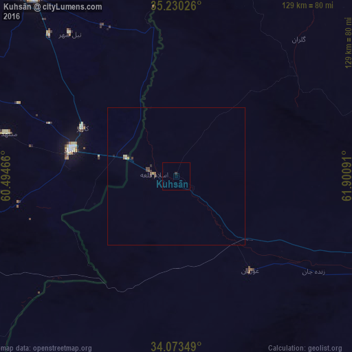
99.41%Clear (daylight) street map image can be seen on geolist.org.
Map coordinates:
35° 13' 48.9" North, 60° 29' 40.8" East
34° 39' 14" North, 61° 11' 52" East
34° 4' 24.6" North, 61° 54' 3.3" East
Some cities around Kuhsān sort by population:
• Herāt
97.9 km =60.8 mi,  110°
110°
• Torbat-e Jām, IR
84 km =52.2 mi,  321°
321°
• Tāybād, IR
39.8 km =24.7 mi,  283°
283°
• Kafir Qala
12.1 km =7.5 mi, 276°
• Qarah Bāgh
61.6 km =38.3 mi,  58°
58°
• Chahār Burj
101.9 km =63.3 mi,  116°
116°
• Zindah Jān
61.1 km =38 mi, 124°
• Tīr Pul
9.3 km =5.8 mi,  135°
135°
1120483 (p: 12,087)
Sources (retrieved 2019-11-25):
» Earth at Night: Flat Maps 2012, 2016