Rustenburg night lights from space
Night Light of Rustenburg (North-West) from space (South Africa) Src. Average luminocity for 10x10km area is 84.8712% and for 50x50km: 22.0673%.
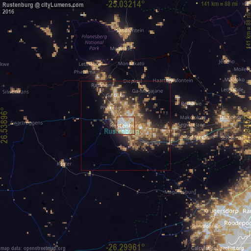
Analysis of Rustenburg night lights 2016
Square area 10x10 km:
 25.95%
90-99
26.33%80-89
10.61%70-79
20.83%60-69
9.47%50-59
2.84%40-49
0.95%30-39
0%20-29
3.03%10-19
0%0-9
0%Square area 50x50 km:
1.81%90-99
2.12%80-89
1.75%70-79
5.59%60-69
4.92%50-59
3.19%40-49
5.4%30-39
4.31%20-29
6.1%10-19
10.15%0-9
54.66%Clear (daylight) street map image can be seen on geolist.org.
Map coordinates:
25° 1' 55.7" South, 26° 32' 20.3" East
25° 40' 3.2" South, 27° 14' 31.5" East
26° 17' 58.6" South, 27° 56' 42.8" East
Some cities around Rustenburg sort by population:
• Krugersdorp
70.8 km =44 mi,  131°
131°
• Diepsloot
82.5 km =51.3 mi,  110°
110°
• Carletonville
78.6 km =48.8 mi,  168°
168°
• Randfontein
73.6 km =45.7 mi,  141°
141°
• Brits
54.1 km =33.6 mi,  86°
86°
• Ga-Rankuwa
75.7 km =47 mi, 85°
• Koster
40.8 km =25.4 mi,  237°
237°
• Maile
25.4 km =15.8 mi,  8°
8°
958724 (p: 124,064)
Sources (retrieved 2019-11-25):
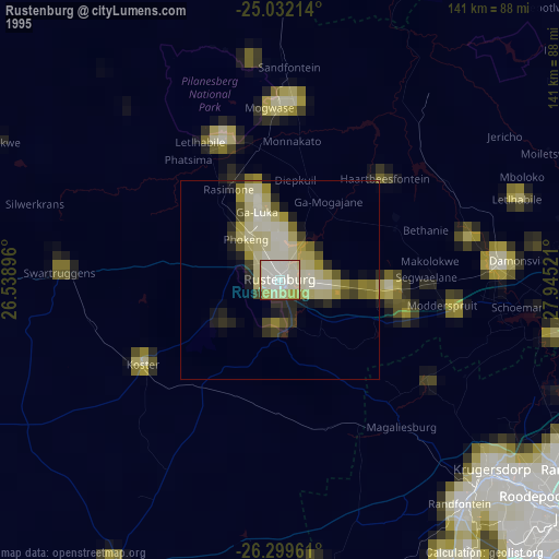
» NASA, Earths city lights 1995
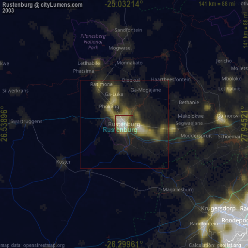
» NASA city lights 2003
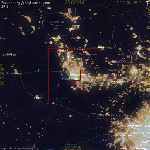
» Earth at Night: Flat Maps 2012, 2016