Pietermaritzburg night lights from space
Night Light of Pietermaritzburg (KwaZulu-Natal) from space (South Africa) Src. Average luminocity for 10x10km area is 79.1528% and for 50x50km: 13.1918%.
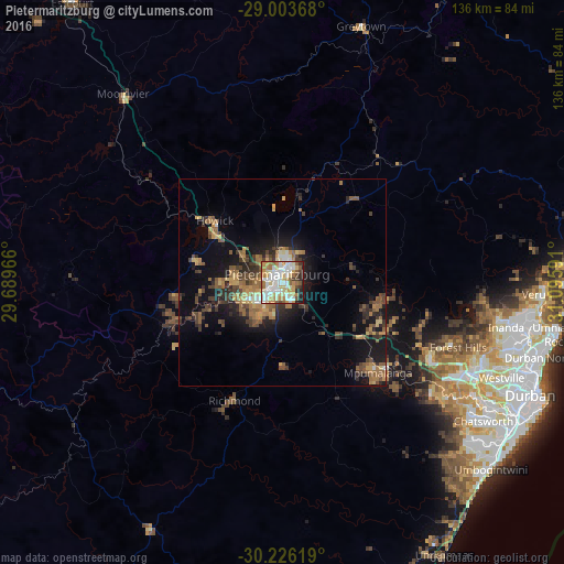
Analysis of Pietermaritzburg night lights 2016
Square area 10x10 km:
 20.63%
90-99
25.4%80-89
11.51%70-79
15.67%60-69
8.13%50-59
6.75%40-49
2.98%30-39
3.37%20-29
3.97%10-19
1.59%0-9
0%Square area 50x50 km:
1.05%90-99
1.4%80-89
1.35%70-79
2.07%60-69
2.44%50-59
2.95%40-49
2.35%30-39
2.76%20-29
3.08%10-19
8.36%0-9
72.2%Clear (daylight) street map image can be seen on geolist.org.
Map coordinates:
29° 0' 13.2" South, 29° 41' 22.8" East
29° 37' 0.4" South, 30° 23' 34" East
30° 13' 34.3" South, 31° 5' 45.3" East
Some cities around Pietermaritzburg sort by population:
• Durban
67 km =41.6 mi,  113°
113°
• Mpumalanga
32.1 km =19.9 mi,  132°
132°
• Richmond
30.7 km =19.1 mi,  202°
202°
• Howick
22 km =13.7 mi,  314°
314°
• Mpophomeni
20.7 km =12.9 mi,  285°
285°
• Berea
63.6 km =39.5 mi, 114°
• Greytown
64.4 km =40 mi,  17°
17°
• Mooirivier
59.6 km =37 mi,  319°
319°
965301 (p: 750,845)
Sources (retrieved 2019-11-25):
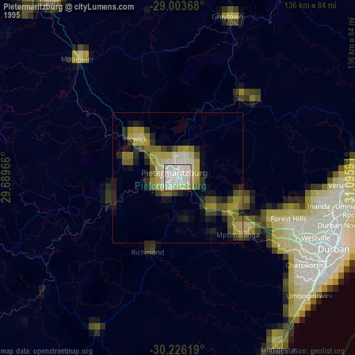
» NASA, Earths city lights 1995
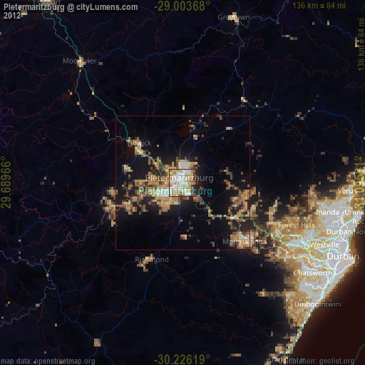
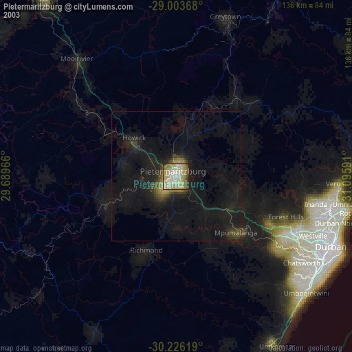
» NASA city lights 2003
» Earth at Night: Flat Maps 2012, 2016