Mabopane night lights from space
Night Light of Mabopane (Gauteng) from space (South Africa) Src. Average luminocity for 10x10km area is 85.3393% and for 50x50km: 43.9609%.
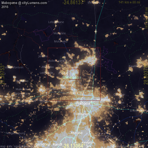
Analysis of Mabopane night lights 2016
Square area 10x10 km:
 25.99%
90-99
28.37%80-89
13.69%70-79
14.48%60-69
5.56%50-59
4.76%40-49
7.14%30-39
0%20-29
0%10-19
0%0-9
0%Square area 50x50 km:
4.59%90-99
6.51%80-89
6.31%70-79
11.23%60-69
7.81%50-59
5.61%40-49
8.05%30-39
6.67%20-29
12.29%10-19
14.73%0-9
16.19%Clear (daylight) street map image can be seen on geolist.org.
Map coordinates:
24° 51' 40.9" South, 27° 23' 51.1" East
25° 29' 51.6" South, 28° 6' 2.3" East
26° 7' 50.3" South, 28° 48' 13.6" East
Some cities around Mabopane sort by population:
• Pretoria
28.8 km =17.9 mi,  162°
162°
• Diepsloot
49.2 km =30.6 mi,  190°
190°
• Centurion
41.1 km =25.5 mi,  168°
168°
• Midrand
54.8 km =34.1 mi,  177°
177°
• Brits
35.6 km =22.1 mi,  244°
244°
• Ga-Rankuwa
17 km =10.6 mi,  218°
218°
• Cullinan
46.6 km =29 mi,  114°
114°
• Midstream
47.8 km =29.7 mi, 168°
980921 (p: 97,417)
Sources (retrieved 2019-11-25):
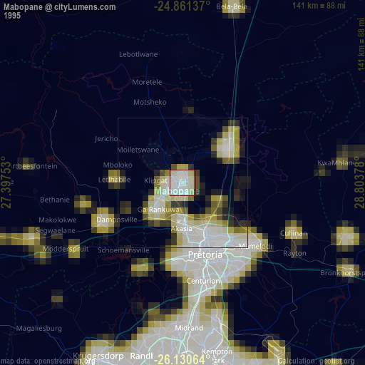
» NASA, Earths city lights 1995
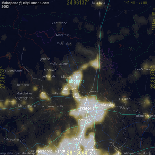
» NASA city lights 2003
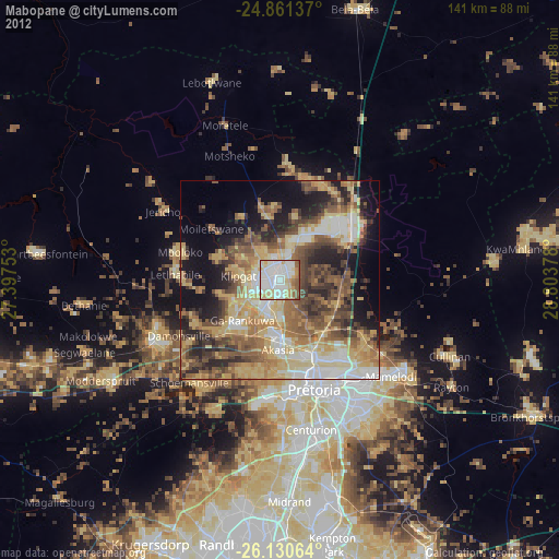
» Earth at Night: Flat Maps 2012, 2016