Cullinan night lights from space
Night Light of Cullinan (Gauteng) from space (South Africa) Src. Average luminocity for 10x10km area is 34.8674% and for 50x50km: 22.3809%.
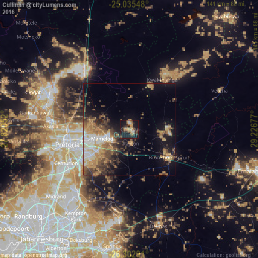
Analysis of Cullinan night lights 2016
Square area 10x10 km:
 2.27%
2.27%90-99
3.6%80-89
4.36%70-79
9.09%60-69
5.68%50-59
3.41%40-49
4.92%30-39
4.17%20-29
9.09%10-19
48.11%0-9
5.3%Square area 50x50 km:
2.47%90-99
3.17%80-89
2.8%70-79
4.61%60-69
3.71%50-59
2.69%40-49
4.92%30-39
3.73%20-29
3.78%10-19
12.15%0-9
55.96%Clear (daylight) street map image can be seen on geolist.org.
Map coordinates:
25° 2' 7.7" South, 27° 49' 13.9" East
25° 40' 15.2" South, 28° 31' 25.1" East
26° 18' 10.5" South, 29° 13' 36.4" East
Some cities around Cullinan sort by population:
• Pretoria
34.6 km =21.5 mi,  256°
256°
• Tembisa
46.8 km =29.1 mi,  219°
219°
• Centurion
39.8 km =24.7 mi,  238°
238°
• Midrand
53.1 km =33 mi,  228°
228°
• Mabopane
46.6 km =29 mi,  294°
294°
• Ekangala
22.8 km =14.2 mi,  97°
97°
• Bronkhorstspruit
26.8 km =16.7 mi,  125°
125°
• Midstream
42.6 km =26.5 mi, 229°
1012413 (p: 25,490)
Sources (retrieved 2019-11-25):
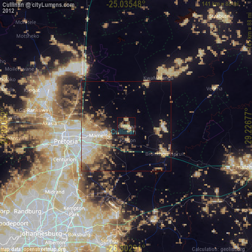
» Earth at Night: Flat Maps 2012, 2016