Lichtenburg night lights from space
Night Light of Lichtenburg (North-West) from space (South Africa) Src. Average luminocity for 10x10km area is 32.6448% and for 50x50km: 2.0829%.
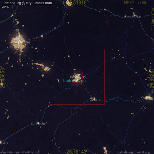
Analysis of Lichtenburg night lights 2016
Square area 10x10 km:
 0.6%
0.6%90-99
1.19%80-89
3.77%70-79
10.71%60-69
12.3%50-59
1.98%40-49
5.75%30-39
4.56%20-29
7.34%10-19
24.6%0-9
27.18%Square area 50x50 km:
0.04%90-99
0.06%80-89
0.22%70-79
0.51%60-69
0.51%50-59
0.12%40-49
0.56%30-39
0.47%20-29
0.48%10-19
1.23%0-9
95.81%Clear (daylight) street map image can be seen on geolist.org.
Map coordinates:
25° 31' 9" South, 25° 27' 23.6" East
26° 9' 7.2" South, 26° 9' 34.8" East
26° 46' 53.1" South, 26° 51' 46.1" East
Some cities around Lichtenburg sort by population:
• Klerksdorp
92.8 km =57.7 mi,  147°
147°
• Orkney
105.3 km =65.4 mi, 151°
• Stilfontein
98 km =60.9 mi,  141°
141°
• Mmabatho
62.4 km =38.8 mi,  302°
302°
• Zeerust
68.9 km =42.8 mi,  352°
352°
• Janeng, BW
102 km =63.4 mi,  323°
323°
• Mahikeng
60.6 km =37.7 mi, 301°
• Koster
80.4 km =50 mi,  66°
66°
982899 (p: 65,863)
Sources (retrieved 2019-11-25):
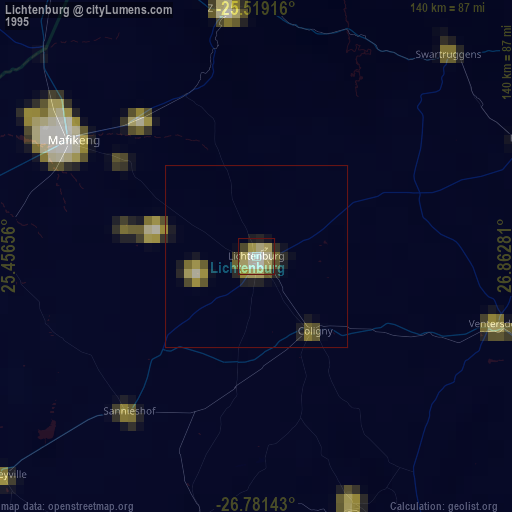
» NASA, Earths city lights 1995
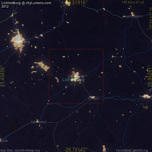
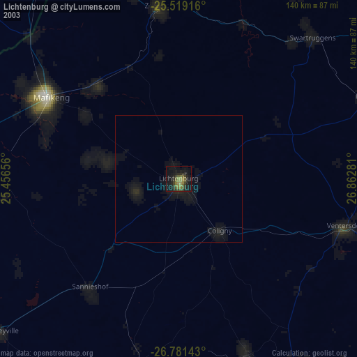
» NASA city lights 2003
» Earth at Night: Flat Maps 2012, 2016