Tembisa night lights from space
Night Light of Tembisa (Gauteng) from space (South Africa) Src. Average luminocity for 10x10km area is 89.631% and for 50x50km: 72.8516%.
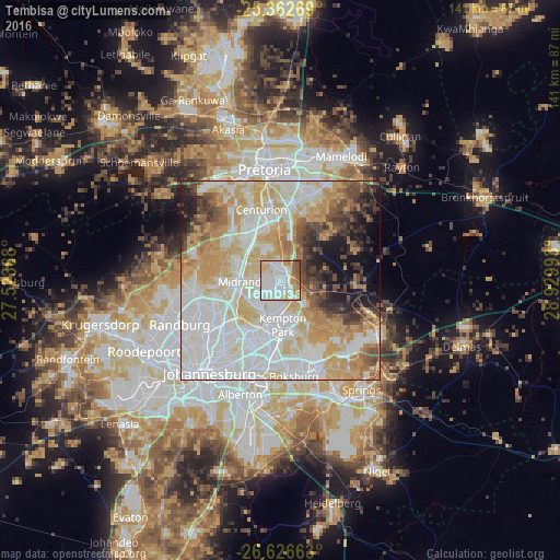
Analysis of Tembisa night lights 2016
Square area 10x10 km:
 35.12%
90-99
29.56%80-89
12.9%70-79
9.33%60-69
5.75%50-59
6.35%40-49
0.99%30-39
0%20-29
0%10-19
0%0-9
0%Square area 50x50 km:
22.86%90-99
18.16%80-89
12.52%70-79
12.55%60-69
6.38%50-59
4.21%40-49
5.48%30-39
4.38%20-29
3.93%10-19
6.67%0-9
2.86%Clear (daylight) street map image can be seen on geolist.org.
Map coordinates:
25° 21' 45.7" South, 27° 31' 25.2" East
25° 59' 46.9" South, 28° 13' 36.5" East
26° 37' 35.9" South, 28° 55' 47.7" East
Some cities around Tembisa sort by population:
• Diepsloot
22.6 km =14 mi,  288°
288°
• Centurion
15.8 km =9.8 mi,  344°
344°
• Midrand
9.9 km =6.2 mi,  274°
274°
• Edenvale
17.7 km =11 mi,  204°
204°
• Midstream
9.1 km =5.7 mi, 342°
• Eden Glen
16.2 km =10.1 mi, 201°
• Eastleigh
16.4 km =10.2 mi,  205°
205°
• Eden Glen Ext 60
15.7 km =9.8 mi, 203°
949880 (p: 511,655)
Sources (retrieved 2019-11-25):
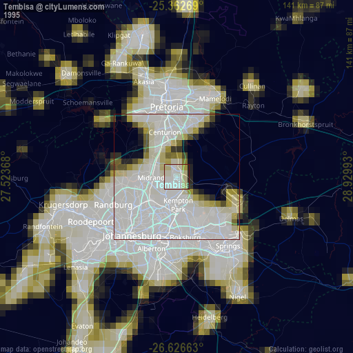
» NASA, Earths city lights 1995
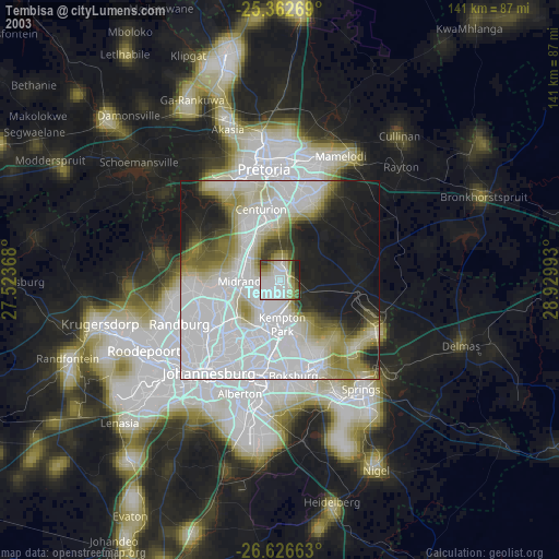
» NASA city lights 2003
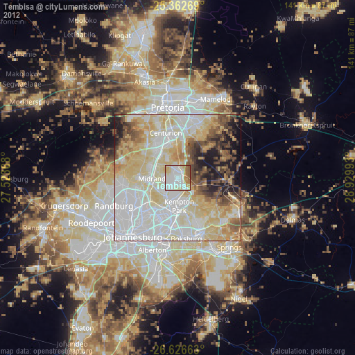
» Earth at Night: Flat Maps 2012, 2016