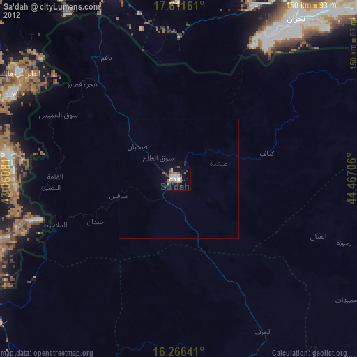
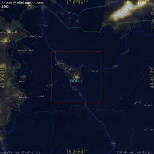
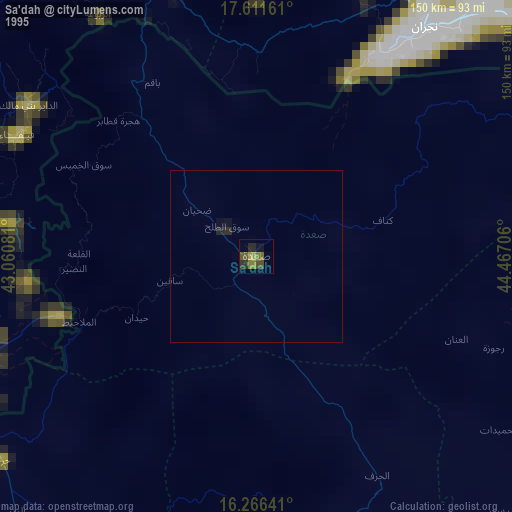
Sa'dah night lights from space
Night Light of Sa'dah (Şa‘dah) from space (Yemen) Src. Average luminocity for 10x10km area is 1.5801% and for 50x50km: 0.0656%.
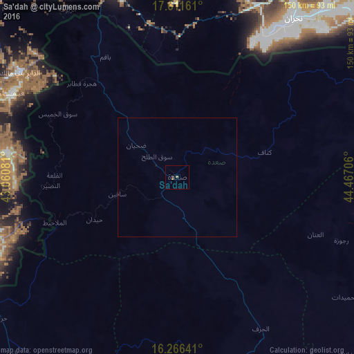
Analysis of Sa'dah night lights 2016
Square area 10x10 km:
 0%
0%90-99
0%80-89
0%70-79
0%60-69
1.52%50-59
0.22%40-49
0.87%30-39
0%20-29
0%10-19
0%0-9
97.4%Square area 50x50 km:
0%90-99
0%80-89
0%70-79
0%60-69
0.06%50-59
0.01%40-49
0.03%30-39
0%20-29
0%10-19
0.03%0-9
99.87%Clear (daylight) street map image can be seen on geolist.org.
Map coordinates:
17° 36' 41.8" North, 43° 3' 38.9" East
16° 56' 24.8" North, 43° 45' 50.1" East
16° 15' 59.1" North, 44° 28' 1.4" East
Some cities around Sa'dah sort by population:
• Najrān, SA
72.6 km =45.1 mi,  32°
32°
• Jizan, SA
129.1 km =80.2 mi,  267°
267°
• Şabyā, SA
123.3 km =76.6 mi,  280°
280°
• Abū ‘Arīsh, SA
99.1 km =61.6 mi, 271°
• Şāmitah, SA
95.3 km =59.2 mi,  246°
246°
• Al Ḩazm
138.2 km =85.9 mi,  128°
128°
• Al Jarādīyah, SA
99.1 km =61.6 mi, 246°
• Mizhirah, SA
110.4 km =68.6 mi,  263°
263°
71334 (p: 51,870)
Sources (retrieved 2019-11-25):
» NASA, Earths city lights 1995
» NASA city lights 2003
» Earth at Night: Flat Maps 2012, 2016