Jizan night lights from space
Night Light of Jizan from space (Saudi Arabia) Src. Average luminocity for 10x10km area is 83.7511% and for 50x50km: 34.9431%.
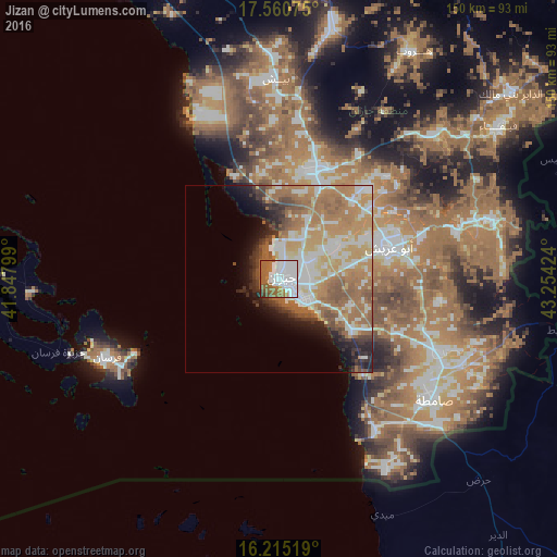
Analysis of Jizan night lights 2016
Square area 10x10 km:
 42.64%
90-99
17.32%80-89
0.87%70-79
1.52%60-69
21.65%50-59
12.77%40-49
1.73%30-39
1.52%20-29
0%10-19
0%0-9
0%Square area 50x50 km:
6.77%90-99
6.94%80-89
3.4%70-79
6.39%60-69
10.29%50-59
5.56%40-49
2.63%30-39
2.93%20-29
3.82%10-19
4.98%0-9
46.3%Clear (daylight) street map image can be seen on geolist.org.
Map coordinates:
17° 33' 38.7" North, 41° 50' 52.8" East
16° 53' 21" North, 42° 33' 4" East
16° 12' 54.7" North, 43° 15' 15.3" East
Some cities around Jizan sort by population:
• Şabyā
30 km =18.6 mi,  15°
15°
• Abū ‘Arīsh
31.2 km =19.4 mi,  73°
73°
• Şāmitah
53.1 km =33 mi,  127°
127°
• Farasān
50.5 km =31.4 mi,  245°
245°
• Al Jarādīyah
51.6 km =32.1 mi, 131°
• Mislīyah
63.5 km =39.5 mi,  0°
0°
• Mizhirah
20.6 km =12.8 mi,  109°
109°
• Ad Darb
98 km =60.9 mi,  341°
341°
105299 (p: 105,198)
Sources (retrieved 2019-11-25):
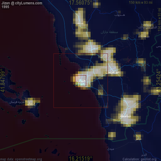
» NASA, Earths city lights 1995
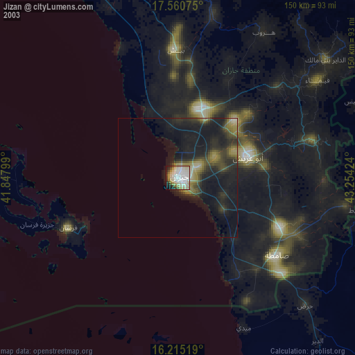
» NASA city lights 2003
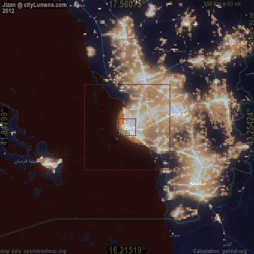
» Earth at Night: Flat Maps 2012, 2016