Abū ‘Arīsh night lights from space
Night Light of Abū ‘Arīsh (Jizan) from space (Saudi Arabia) Src. Average luminocity for 10x10km area is 93.5519% and for 50x50km: 64.3289%.
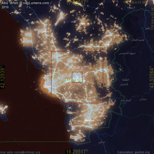
Analysis of Abū ‘Arīsh night lights 2016
Square area 10x10 km:
 38.53%
90-99
34.85%80-89
14.29%70-79
11.26%60-69
1.08%50-59
0%40-49
0%30-39
0%20-29
0%10-19
0%0-9
0%Square area 50x50 km:
9.53%90-99
10.96%80-89
5.98%70-79
11.21%60-69
25.98%50-59
13.74%40-49
7.19%30-39
3.99%20-29
5.25%10-19
5.66%0-9
0.5%Clear (daylight) street map image can be seen on geolist.org.
Map coordinates:
17° 38' 24.6" North, 42° 7' 45.8" East
16° 58' 7.9" North, 42° 49' 57" East
16° 17' 42.6" North, 43° 32' 8.3" East
Some cities around Abū ‘Arīsh sort by population:
• Jizan
31.2 km =19.4 mi,  253°
253°
• Şabyā
29.8 km =18.5 mi,  312°
312°
• Sa'dah, YE
99.1 km =61.6 mi,  91°
91°
• Şāmitah
43.1 km =26.8 mi,  163°
163°
• Farasān
81.6 km =50.7 mi, 248°
• Al Jarādīyah
44.1 km =27.4 mi,  168°
168°
• Mislīyah
61.9 km =38.5 mi,  331°
331°
• Mizhirah
19.1 km =11.9 mi,  213°
213°
110619 (p: 49,171)
Sources (retrieved 2019-11-25):
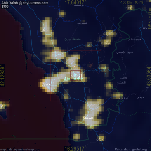
» NASA, Earths city lights 1995
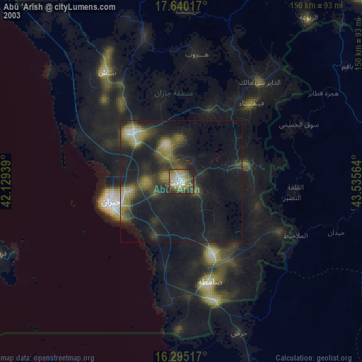
» NASA city lights 2003
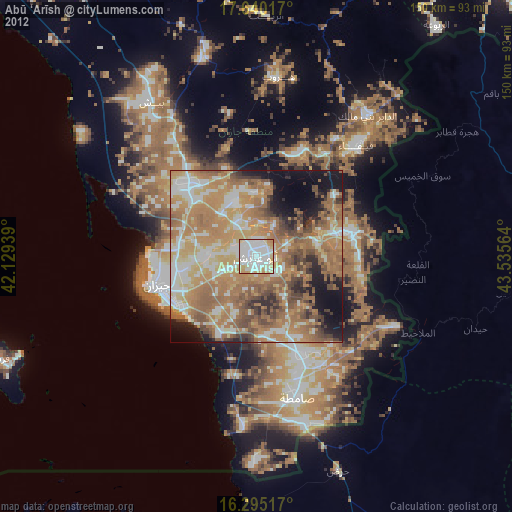
» Earth at Night: Flat Maps 2012, 2016