Zubin Potok night lights from space
Night Light of Zubin Potok (Mitrovica) from space (Kosovo) Src. Average luminocity for 10x10km area is 4.8825% and for 50x50km: 2.4382%.
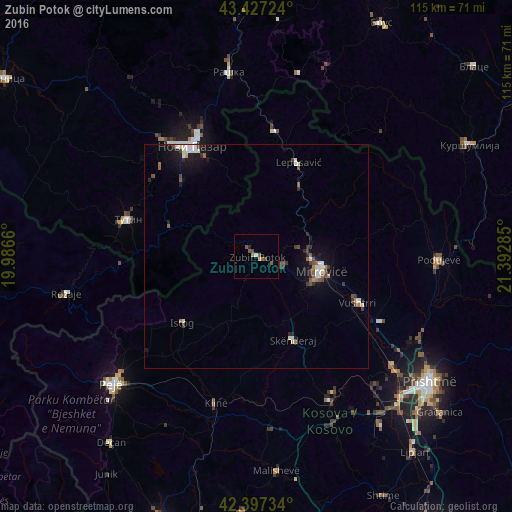
Analysis of Zubin Potok night lights 2016
Square area 10x10 km:
 0.48%
0.48%90-99
0.16%80-89
0.48%70-79
0.32%60-69
0.48%50-59
3.17%40-49
1.27%30-39
0%20-29
0.63%10-19
0%0-9
93.02%Square area 50x50 km:
0.33%90-99
0.44%80-89
0.13%70-79
0.12%60-69
0.23%50-59
0.49%40-49
0.42%30-39
0.44%20-29
0.36%10-19
1.74%0-9
95.31%Clear (daylight) street map image can be seen on geolist.org.
Map coordinates:
43° 25' 38.1" North, 19° 59' 11.8" East
42° 54' 52" North, 20° 41' 23" East
42° 23' 50.4" North, 21° 23' 34.3" East
Some cities around Zubin Potok sort by population:
• Mitrovicë
14.8 km =9.2 mi,  103°
103°
• Novi Pazar, RS
28.6 km =17.8 mi,  329°
329°
• Istok
22.2 km =13.8 mi,  227°
227°
• Vushtrri
24.8 km =15.4 mi,  114°
114°
• Leposaviq
23 km =14.3 mi,  23°
23°
• Zvečan
12.3 km =7.6 mi,  93°
93°
• Klina
33.8 km =21 mi,  195°
195°
• Srbica
20.3 km =12.6 mi,  156°
156°
783802 (p: 14,900)
Sources (retrieved 2019-11-25):
» Earth at Night: Flat Maps 2012, 2016