Mitrovicë night lights from space
Night Light of Mitrovicë (Mitrovica) from space (Kosovo) Src. Average luminocity for 10x10km area is 20.0333% and for 50x50km: 2.7502%.
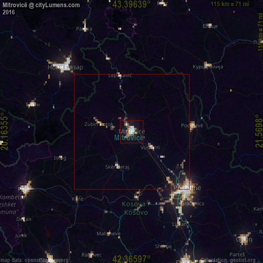
Analysis of Mitrovicë night lights 2016
Square area 10x10 km:
 3.33%
3.33%90-99
3.33%80-89
0.32%70-79
1.43%60-69
2.38%50-59
4.76%40-49
4.13%30-39
2.22%20-29
2.38%10-19
15.24%0-9
60.48%Square area 50x50 km:
0.3%90-99
0.37%80-89
0.13%70-79
0.25%60-69
0.33%50-59
0.57%40-49
0.54%30-39
0.57%20-29
0.71%10-19
1.77%0-9
94.45%Clear (daylight) street map image can be seen on geolist.org.
Map coordinates:
43° 23' 47" North, 20° 9' 48.8" East
42° 52' 60" North, 20° 52' 0" East
42° 21' 57.5" North, 21° 34' 11.3" East
Some cities around Mitrovicë sort by population:
• Glogovac
28.4 km =17.6 mi,  175°
175°
• Podujeva
26.8 km =16.7 mi,  83°
83°
• Vushtrri
10.6 km =6.6 mi,  129°
129°
• Leposaviq
25.1 km =15.6 mi,  348°
348°
• Zvečan
3.4 km =2.1 mi,  321°
321°
• Zubin Potok
14.8 km =9.2 mi,  283°
283°
• Obiliq
27.4 km =17 mi,  142°
142°
• Srbica
16.5 km =10.3 mi,  202°
202°
789225 (p: 107,045)
Sources (retrieved 2019-11-25):
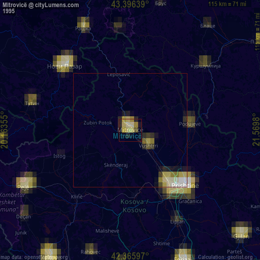
» NASA, Earths city lights 1995
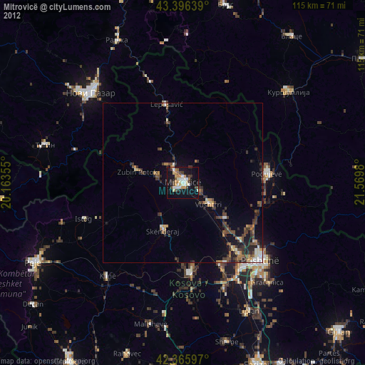
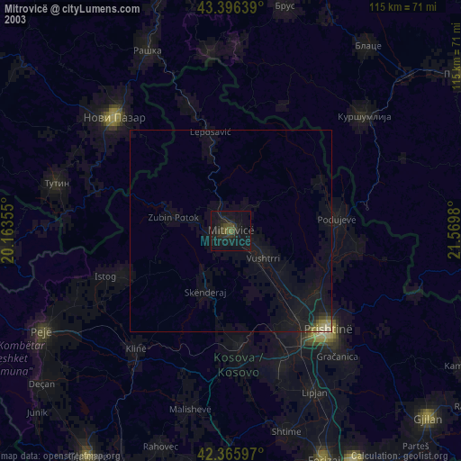
» NASA city lights 2003
» Earth at Night: Flat Maps 2012, 2016