Klina night lights from space
Night Light of Klina (Pec) from space (Kosovo) Src. Average luminocity for 10x10km area is 0.9424% and for 50x50km: 1.3859%.
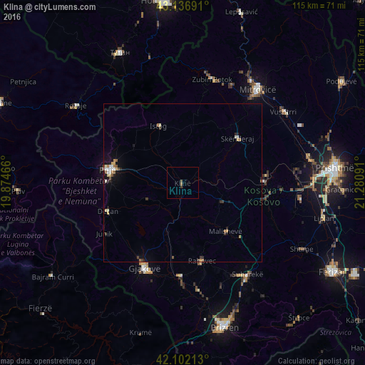
Analysis of Klina night lights 2016
Square area 10x10 km:
100  0%
0%
90-99 0%
80-89 0%
70-79 0%
60-69 0.61%
50-59 0.61%
40-49 0.15%
30-39 0.45%
20-29 0%
10-19 0%
0-9 98.18%
0%90-99
0%80-89
0%70-79
0%60-69
0.61%50-59
0.61%40-49
0.15%30-39
0.45%20-29
0%10-19
0%0-9
98.18%Square area 50x50 km:
100 0.11%
90-99 0.23%
80-89 0.2%
70-79 0.13%
60-69 0.22%
50-59 0.23%
40-49 0.11%
30-39 0.23%
20-29 0.18%
10-19 0.75%
0-9 97.6%
0.11%90-99
0.23%80-89
0.2%70-79
0.13%60-69
0.22%50-59
0.23%40-49
0.11%30-39
0.23%20-29
0.18%10-19
0.75%0-9
97.6%Clear (daylight) street map image can be seen on geolist.org.
Map coordinates:
43° 8' 12.9" North, 19° 52' 28.8" East
42° 37' 18" North, 20° 34' 40" East
42° 6' 7.7" North, 21° 16' 51.3" East
Some cities around Klina sort by population:
• Deçan
25.4 km =15.8 mi,  249°
249°
• Peć
24 km =14.9 mi,  279°
279°
• Istok
19.2 km =11.9 mi,  337°
337°
• Orahovac
25.5 km =15.8 mi,  165°
165°
• Llazicë
16.9 km =10.5 mi,  115°
115°
• Strellc i Epërm
23.7 km =14.7 mi,  258°
258°
• Isniq
23.6 km =14.7 mi, 252°
• Srbica
22.1 km =13.7 mi,  51°
51°
789455 (p: 8,050)
Sources (retrieved 2019-11-25):
» Earth at Night: Flat Maps 2012, 2016