Istok night lights from space
Night Light of Istok (Pec) from space (Kosovo) Src. Average luminocity for 10x10km area is 1.1758% and for 50x50km: 1.602%.
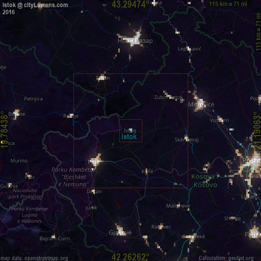
Analysis of Istok night lights 2016
Square area 10x10 km:
 0%
0%90-99
0.15%80-89
0.45%70-79
0%60-69
0.45%50-59
0.15%40-49
0%30-39
0.61%20-29
0%10-19
0%0-9
98.18%Square area 50x50 km:
0.17%90-99
0.29%80-89
0.18%70-79
0.13%60-69
0.15%50-59
0.39%40-49
0.17%30-39
0.3%20-29
0.18%10-19
0.7%0-9
97.35%Clear (daylight) street map image can be seen on geolist.org.
Map coordinates:
43° 17' 41.1" North, 19° 47' 3.8" East
42° 46' 51" North, 20° 29' 15" East
42° 15' 45.4" North, 21° 11' 26.3" East
Some cities around Istok sort by population:
• Deçan
31.3 km =19.4 mi,  211°
211°
• Peć
21.2 km =13.2 mi,  230°
230°
• Zubin Potok
22.2 km =13.8 mi,  47°
47°
• Rožaje, ME
26.8 km =16.7 mi,  282°
282°
• Klina
19.2 km =11.9 mi,  157°
157°
• Strellc i Epërm
27.5 km =17.1 mi,  215°
215°
• Isniq
29.1 km =18.1 mi, 211°
• Srbica
24.9 km =15.5 mi,  98°
98°
789996 (p: 40,000)
Sources (retrieved 2019-11-25):
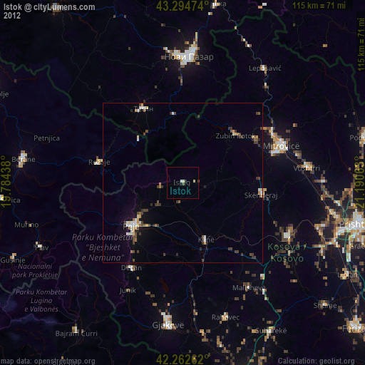
» Earth at Night: Flat Maps 2012, 2016