Vitina night lights from space
Night Light of Vitina (Gjilan) from space (Kosovo) Src. Average luminocity for 10x10km area is 1.5333% and for 50x50km: 3.2392%.
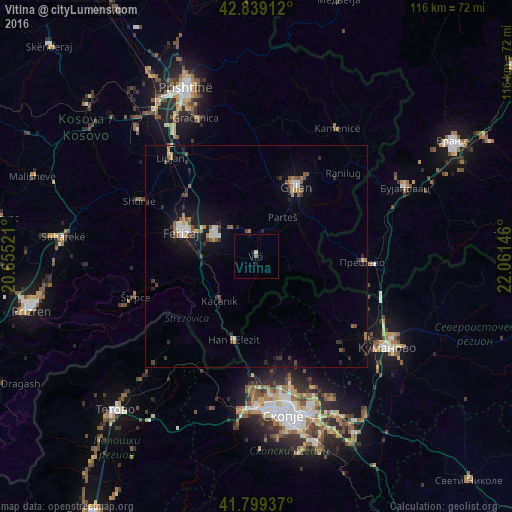
Analysis of Vitina night lights 2016
Square area 10x10 km:
 0%
0%90-99
0.61%80-89
0%70-79
0%60-69
0%50-59
0.61%40-49
0%30-39
0%20-29
0%10-19
1.82%0-9
96.97%Square area 50x50 km:
0.29%90-99
0.38%80-89
0.29%70-79
0.3%60-69
0.37%50-59
0.56%40-49
0.53%30-39
0.56%20-29
0.81%10-19
2.26%0-9
93.65%Clear (daylight) street map image can be seen on geolist.org.
Map coordinates:
42° 50' 20.8" North, 20° 39' 18.8" East
42° 19' 17" North, 21° 21' 30" East
41° 47' 57.7" North, 22° 3' 41.3" East
Some cities around Vitina sort by population:
• Ferizaj
17.6 km =10.9 mi,  288°
288°
• Gjilan
18 km =11.2 mi,  30°
30°
• Shtime
29 km =18 mi,  295°
295°
• Lipkovo, MK
26.2 km =16.3 mi,  134°
134°
• Kačanik
12.8 km =8 mi,  219°
219°
• Hani i Elezit
19.7 km =12.2 mi,  194°
194°
• Чучер - Сандево, MK
24.3 km =15.1 mi,  175°
175°
• Štrpce
28.7 km =17.8 mi,  251°
251°
784372 (p: 46,959)
Sources (retrieved 2019-11-25):
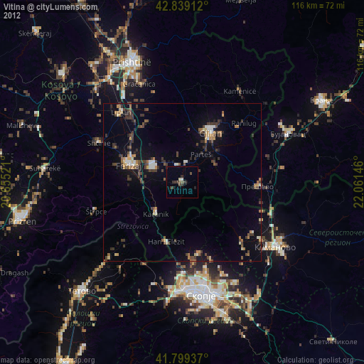
» Earth at Night: Flat Maps 2012, 2016