Ferizaj night lights from space
Night Light of Ferizaj from space (Kosovo) Src. Average luminocity for 10x10km area is 25.8254% and for 50x50km: 3.3148%.
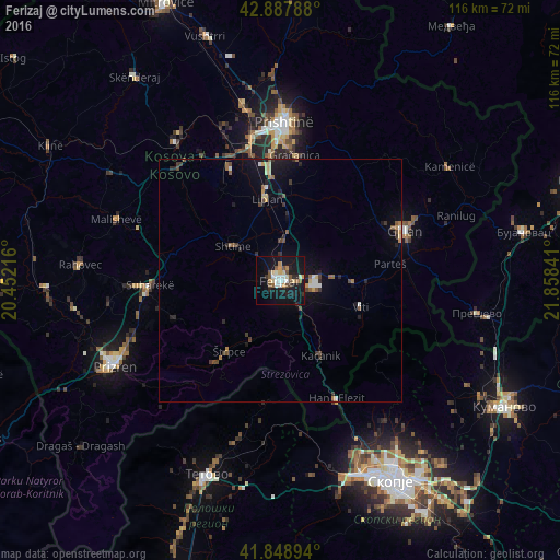
Analysis of Ferizaj night lights 2016
Square area 10x10 km:
 3.02%
3.02%90-99
4.6%80-89
3.33%70-79
3.02%60-69
2.54%50-59
3.65%40-49
2.7%30-39
1.9%20-29
4.76%10-19
37.94%0-9
32.54%Square area 50x50 km:
0.28%90-99
0.38%80-89
0.4%70-79
0.3%60-69
0.39%50-59
0.49%40-49
0.53%30-39
0.47%20-29
0.76%10-19
3.14%0-9
92.85%Clear (daylight) street map image can be seen on geolist.org.
Map coordinates:
42° 53' 16.4" North, 20° 27' 7.8" East
42° 22' 14" North, 21° 9' 19" East
41° 50' 56.2" North, 21° 51' 30.3" East
Some cities around Ferizaj sort by population:
• Suva Reka
27.2 km =16.9 mi,  267°
267°
• Gjilan
27.7 km =17.2 mi,  68°
68°
• Vitina
17.6 km =10.9 mi,  108°
108°
• Shtime
11.8 km =7.3 mi,  306°
306°
• Kačanik
17.6 km =10.9 mi,  150°
150°
• Hani i Elezit
27.1 km =16.8 mi, 154°
• Lipljan
17 km =10.6 mi,  351°
351°
• Štrpce
18 km =11.2 mi,  215°
215°
784759 (p: 59,504)
Sources (retrieved 2019-11-25):
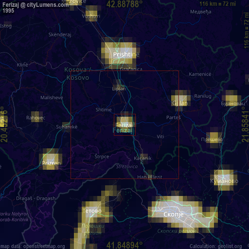
» NASA, Earths city lights 1995
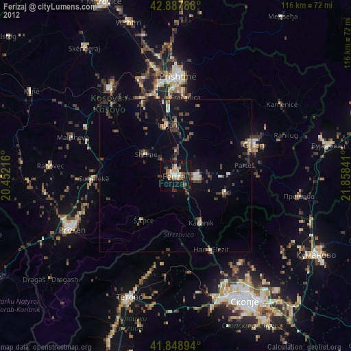
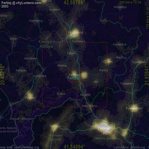
» NASA city lights 2003
» Earth at Night: Flat Maps 2012, 2016