Чучер - Сандево night lights from space
Night Light of Чучер - Сандево (Chucher Sandevo) from space (North Macedonia) Src. Average luminocity for 10x10km area is 7.8136% and for 50x50km: 10.2584%.
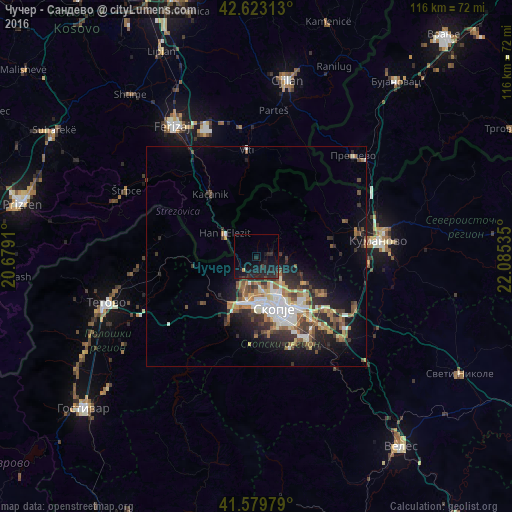
Analysis of Чучер - Сандево night lights 2016
Square area 10x10 km:
 0%
0%90-99
0%80-89
0%70-79
0.61%60-69
0%50-59
0%40-49
1.82%30-39
0.91%20-29
10.61%10-19
17.58%0-9
68.48%Square area 50x50 km:
1.38%90-99
1.94%80-89
0.96%70-79
0.93%60-69
1.8%50-59
1.36%40-49
1.57%30-39
1.82%20-29
3.29%10-19
5.52%0-9
79.42%Clear (daylight) street map image can be seen on geolist.org.
Map coordinates:
42° 37' 23.3" North, 20° 40' 44.8" East
42° 6' 13" North, 21° 22' 56" East
41° 34' 47.2" North, 22° 5' 7.3" East
Some cities around Чучер - Сандево sort by population:
• Čair
11 km =6.8 mi,  153°
153°
• Gjorče Petro
10.9 km =6.8 mi,  192°
192°
• Butel
9.7 km =6 mi, 146°
• Saraj
12.4 km =7.7 mi,  201°
201°
• Šuto Orizare
7.9 km =4.9 mi, 153°
• Kondovo
11.7 km =7.3 mi,  208°
208°
• Hani i Elezit, XK
8.7 km =5.4 mi,  306°
306°
• Radishani
7.2 km =4.5 mi,  131°
131°
791720 (p: 8,646)
Sources (retrieved 2019-11-25):
» Earth at Night: Flat Maps 2012, 2016