Ninh Bình night lights from space
Night Light of Ninh Bình from space (Vietnam) Src. Average luminocity for 10x10km area is 47.2024% and for 50x50km: 9.1293%.
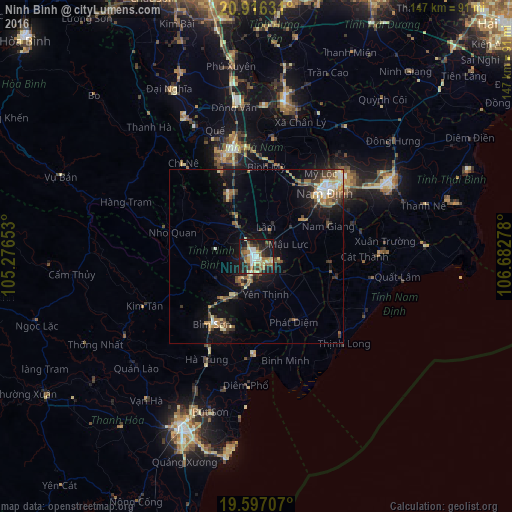
Analysis of Ninh Bình night lights 2016
Square area 10x10 km:
 5.95%
5.95%90-99
8.13%80-89
8.73%70-79
5.75%60-69
7.14%50-59
9.13%40-49
3.97%30-39
7.94%20-29
14.29%10-19
26.79%0-9
2.18%Square area 50x50 km:
0.7%90-99
1.19%80-89
1.28%70-79
1%60-69
1.36%50-59
1.59%40-49
1.34%30-39
1.8%20-29
1.95%10-19
7.03%0-9
80.76%Clear (daylight) street map image can be seen on geolist.org.
Map coordinates:
20° 54' 58.7" North, 105° 16' 35.5" East
20° 15' 29.1" North, 105° 58' 46.7" East
19° 35' 49.5" North, 106° 40' 58" East
Some cities around Ninh Bình sort by population:
• Nam Định
28.4 km =17.6 mi,  46°
46°
• Thanh Hóa
55.6 km =34.5 mi,  203°
203°
• Hải Dương
84.4 km =52.4 mi,  25°
25°
• Bỉm Sơn
23.6 km =14.7 mi,  211°
211°
• Thái Bình
43.2 km =26.8 mi,  60°
60°
• Hà Đông
82 km =51 mi,  345°
345°
• Hưng Yên
43.8 km =27.2 mi,  9°
9°
• Phủ Lý
32.7 km =20.3 mi, 347°
1571968 (p: 36,864)
Sources (retrieved 2019-11-25):
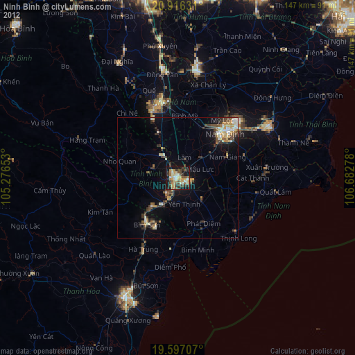
» Earth at Night: Flat Maps 2012, 2016