Sơn Tây night lights from space
Night Light of Sơn Tây (Hanoi) from space (Vietnam) Src. Average luminocity for 10x10km area is 26.4444% and for 50x50km: 21.3005%.
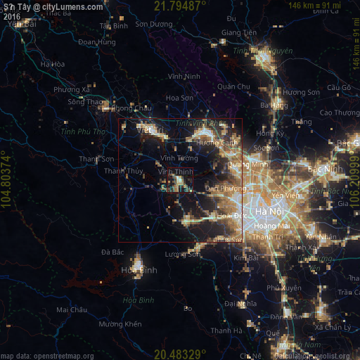
Analysis of Sơn Tây night lights 2016
Square area 10x10 km:
 0.79%
0.79%90-99
1.59%80-89
1.98%70-79
6.75%60-69
4.76%50-59
1.98%40-49
8.33%30-39
9.52%20-29
4.96%10-19
23.21%0-9
36.11%Square area 50x50 km:
1.54%90-99
2.14%80-89
2.74%70-79
3.05%60-69
5.2%50-59
3.95%40-49
3.88%30-39
4.47%20-29
5.25%10-19
14%0-9
53.78%Clear (daylight) street map image can be seen on geolist.org.
Map coordinates:
21° 47' 41.5" North, 104° 48' 13.5" East
21° 8' 25.9" North, 105° 30' 24.7" East
20° 28' 59.8" North, 106° 12' 36" East
Some cities around Sơn Tây sort by population:
• Hanoi
37 km =23 mi,  110°
110°
• Thái Nguyên
61.6 km =38.3 mi,  35°
35°
• Hòa Bình
40 km =24.9 mi,  206°
206°
• Việt Trì
23 km =14.3 mi,  331°
331°
• Cung Kiệm
68 km =42.3 mi,  85°
85°
• Hà Đông
33.9 km =21.1 mi,  123°
123°
• Bắc Ninh
59.3 km =36.8 mi, 85°
• Vĩnh Yên
21.3 km =13.2 mi,  28°
28°
1567621 (p: 40,636)
Sources (retrieved 2019-11-25):
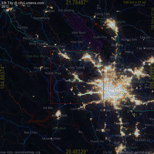
» Earth at Night: Flat Maps 2012, 2016