Việt Trì night lights from space
Night Light of Việt Trì (Phú Thọ) from space (Vietnam) Src. Average luminocity for 10x10km area is 35.3049% and for 50x50km: 8.0959%.
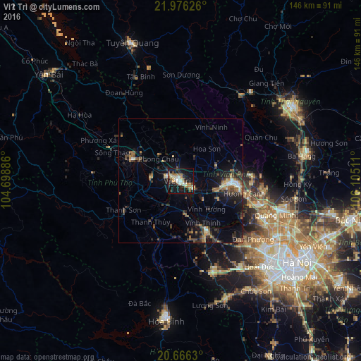
Analysis of Việt Trì night lights 2016
Square area 10x10 km:
 3.79%
3.79%90-99
4.92%80-89
4.92%70-79
5.3%60-69
8.52%50-59
3.22%40-49
3.79%30-39
5.3%20-29
5.11%10-19
42.23%0-9
12.88%Square area 50x50 km:
0.44%90-99
0.69%80-89
0.79%70-79
1.03%60-69
1.48%50-59
1.12%40-49
1.67%30-39
2.07%20-29
1.93%10-19
7%0-9
81.78%Clear (daylight) street map image can be seen on geolist.org.
Map coordinates:
21° 58' 34.5" North, 104° 41' 55.9" East
21° 19' 21.9" North, 105° 24' 7.1" East
20° 39' 58.7" North, 106° 6' 18.4" East
Some cities around Việt Trì sort by population:
• Hanoi
56.3 km =35 mi,  126°
126°
• Thái Nguyên
55.2 km =34.3 mi,  56°
56°
• Hòa Bình
56.6 km =35.2 mi,  186°
186°
• Yên Bái
67.5 km =41.9 mi,  311°
311°
• Hà Đông
55.3 km =34.4 mi, 134°
• Sơn Tây
23 km =14.3 mi,  151°
151°
• Tuyên Quang
59 km =36.7 mi,  340°
340°
• Vĩnh Yên
21.1 km =13.1 mi,  94°
94°
1562820 (p: 93,475)
Sources (retrieved 2019-11-25):
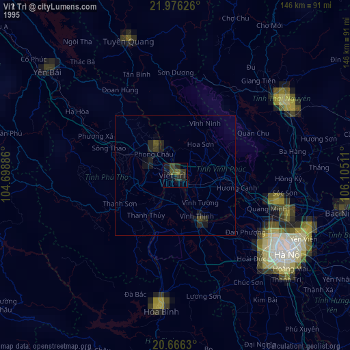
» NASA, Earths city lights 1995
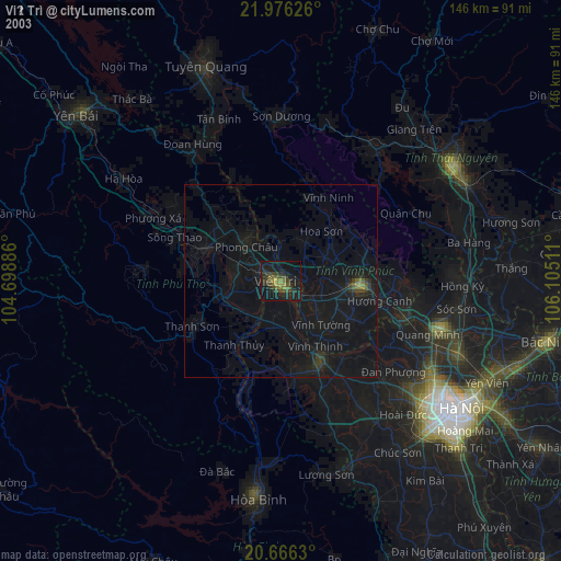
» NASA city lights 2003
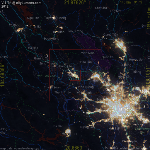
» Earth at Night: Flat Maps 2012, 2016