Hòa Bình night lights from space
Night Light of Hòa Bình from space (Vietnam) Src. Average luminocity for 10x10km area is 31.1726% and for 50x50km: 3.3524%.
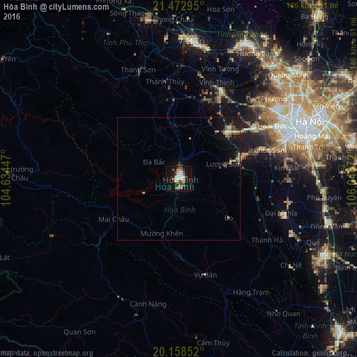
Analysis of Hòa Bình night lights 2016
Square area 10x10 km:
 5.16%
5.16%90-99
3.97%80-89
4.56%70-79
3.37%60-69
5.16%50-59
5.16%40-49
3.17%30-39
4.37%20-29
3.57%10-19
30.95%0-9
30.56%Square area 50x50 km:
0.26%90-99
0.23%80-89
0.67%70-79
0.44%60-69
0.36%50-59
0.47%40-49
0.54%30-39
0.58%20-29
0.52%10-19
3.63%0-9
92.32%Clear (daylight) street map image can be seen on geolist.org.
Map coordinates:
21° 28' 22.6" North, 104° 38' 4.1" East
20° 49' 1.8" North, 105° 20' 15.3" East
20° 9' 30.7" North, 106° 2' 26.6" East
Some cities around Hòa Bình sort by population:
• Hanoi
57.2 km =35.5 mi,  66°
66°
• Việt Trì
56.6 km =35.2 mi,  6°
6°
• Hà Đông
48.9 km =30.4 mi, 69°
• Bắc Ninh
87 km =54.1 mi,  61°
61°
• Sơn Tây
40 km =24.9 mi,  26°
26°
• Hưng Yên
76.6 km =47.6 mi,  104°
104°
• Phủ Lý
67 km =41.6 mi,  116°
116°
• Vĩnh Yên
61.3 km =38.1 mi, 26°
1580830 (p: 105,260)
Sources (retrieved 2019-11-25):
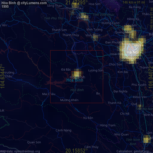
» NASA, Earths city lights 1995
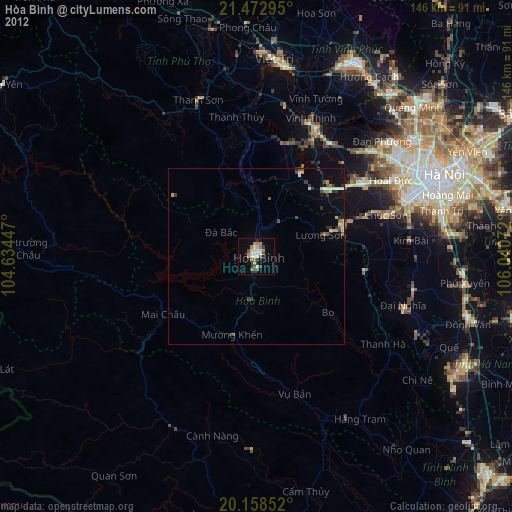
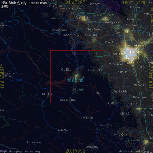
» NASA city lights 2003
» Earth at Night: Flat Maps 2012, 2016