Valencia night lights from space
Night Light of Valencia (Carabobo) from space (Venezuela) Src. Average luminocity for 10x10km area is 91.7831% and for 50x50km: 26.6178%.
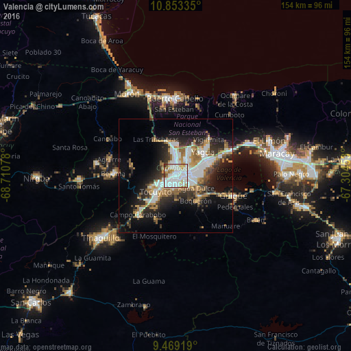
Analysis of Valencia night lights 2016
Square area 10x10 km:
 48.97%
90-99
27.89%80-89
4.34%70-79
6.4%60-69
7.02%50-59
1.86%40-49
2.69%30-39
0.83%20-29
0%10-19
0%0-9
0%Square area 50x50 km:
6.37%90-99
5.45%80-89
1.39%70-79
3.68%60-69
3.8%50-59
2.95%40-49
2.74%30-39
3.86%20-29
6.5%10-19
12.16%0-9
51.09%Clear (daylight) street map image can be seen on geolist.org.
Map coordinates:
10° 51' 12.1" North, 68° 42' 38.8" West
10° 9' 43.3" North, 68° 0' 27.5" West
9° 28' 9.1" North, 67° 18' 16.3" West
Some cities around Valencia sort by population:
• Puerto Cabello
34.6 km =21.5 mi,  359°
359°
• Guacara
16 km =9.9 mi,  63°
63°
• Mariara
35 km =21.7 mi, 64°
• Tinaquillo
42.3 km =26.3 mi,  230°
230°
• Güigüe
26.6 km =16.5 mi,  109°
109°
• Morón
41.9 km =26 mi,  329°
329°
• San Joaquín
25.9 km =16.1 mi, 64°
• Tacarigua
12.8 km =8 mi,  131°
131°
3625549 (p: 1,385,083)
Sources (retrieved 2019-11-25):
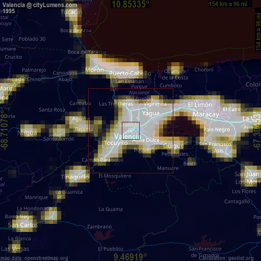
» NASA, Earths city lights 1995
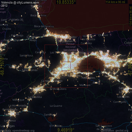
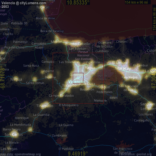
» NASA city lights 2003
» Earth at Night: Flat Maps 2012, 2016