Qibray night lights from space
Night Light of Qibray (Toshkent) from space (Uzbekistan) Src. Average luminocity for 10x10km area is 38.5459% and for 50x50km: 27.6333%.
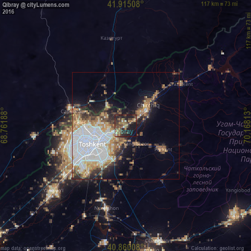
Analysis of Qibray night lights 2016
Square area 10x10 km:
 1.36%
1.36%90-99
2.38%80-89
1.87%70-79
7.14%60-69
8.16%50-59
10.54%40-49
12.41%30-39
10.71%20-29
14.63%10-19
27.38%0-9
3.4%Square area 50x50 km:
8.99%90-99
4.66%80-89
2.26%70-79
3.02%60-69
3.56%50-59
3.54%40-49
3.21%30-39
3.71%20-29
4.28%10-19
7.96%0-9
54.8%Clear (daylight) street map image can be seen on geolist.org.
Map coordinates:
41° 54' 54.3" North, 68° 45' 42.8" East
41° 23' 23" North, 69° 27' 54" East
40° 51' 36.3" North, 70° 10' 5.3" East
Some cities around Qibray sort by population:
• Tashkent
25 km =15.5 mi,  236°
236°
• Chirchiq
13.2 km =8.2 mi,  47°
47°
• Parkent
20.6 km =12.8 mi,  120°
120°
• Iskandar
26.8 km =16.7 mi, 47°
• Salor
7.2 km =4.5 mi,  254°
254°
• Bektemir
22.8 km =14.2 mi,  208°
208°
• Saryaghash, KZ
26 km =16.2 mi,  287°
287°
• G‘azalkent
31.6 km =19.6 mi, 53°
1513567 (p: 27,750)
Sources (retrieved 2019-11-25):
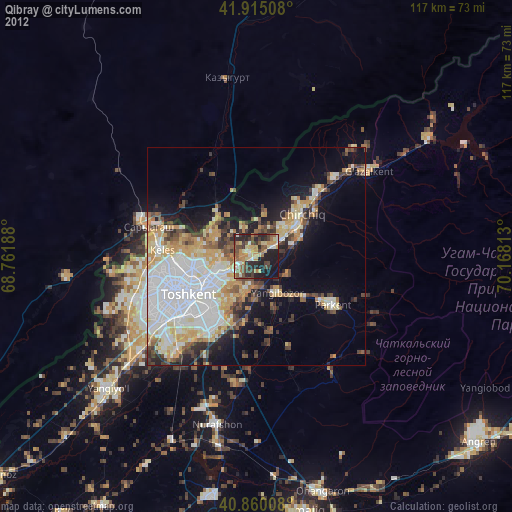
» Earth at Night: Flat Maps 2012, 2016