Chirchiq night lights from space
Night Light of Chirchiq (Toshkent) from space (Uzbekistan) Src. Average luminocity for 10x10km area is 40.7347% and for 50x50km: 15.2203%.
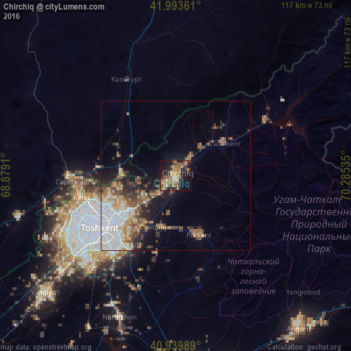
Analysis of Chirchiq night lights 2016
Square area 10x10 km:
 1.19%
1.19%90-99
4.08%80-89
5.27%70-79
8.16%60-69
11.56%50-59
10.37%40-49
5.44%30-39
9.01%20-29
9.35%10-19
25.85%0-9
9.69%Square area 50x50 km:
3.26%90-99
2.63%80-89
1.32%70-79
1.78%60-69
2.09%50-59
2.69%40-49
2.33%30-39
2.34%20-29
2.88%10-19
6.13%0-9
72.54%Clear (daylight) street map image can be seen on geolist.org.
Map coordinates:
41° 59' 37" North, 68° 52' 44.8" East
41° 28' 8" North, 69° 34' 56" East
40° 56' 23.6" North, 70° 17' 7.3" East
Some cities around Chirchiq sort by population:
• Parkent
20.9 km =13 mi,  157°
157°
• Qibray
13.2 km =8.2 mi,  227°
227°
• Iskandar
13.7 km =8.5 mi,  46°
46°
• Salor
19.9 km =12.4 mi,  237°
237°
• Bektemir
35.5 km =22.1 mi,  215°
215°
• Saryaghash, KZ
34.5 km =21.4 mi,  268°
268°
• G‘azalkent
18.6 km =11.6 mi,  57°
57°
• Leninskoye, KZ
36 km =22.4 mi,  332°
332°
1514210 (p: 167,842)
Sources (retrieved 2019-11-25):
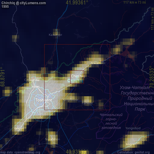
» NASA, Earths city lights 1995
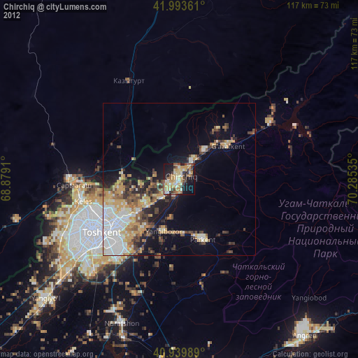
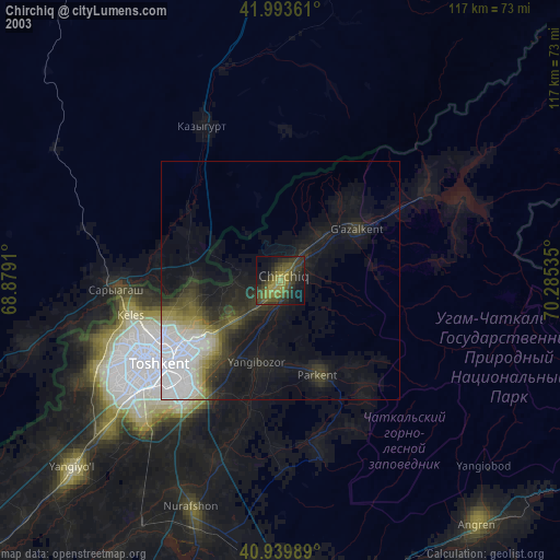
» NASA city lights 2003
» Earth at Night: Flat Maps 2012, 2016