G‘azalkent night lights from space
Night Light of G‘azalkent (Toshkent) from space (Uzbekistan) Src. Average luminocity for 10x10km area is 6.6905% and for 50x50km: 3.6996%.
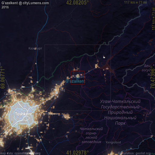
Analysis of G‘azalkent night lights 2016
Square area 10x10 km:
 0%
0%90-99
0%80-89
0.68%70-79
0.17%60-69
1.02%50-59
3.57%40-49
3.4%30-39
0.85%20-29
0.51%10-19
0%0-9
89.8%Square area 50x50 km:
0.05%90-99
0.2%80-89
0.29%70-79
0.55%60-69
0.67%50-59
0.94%40-49
0.82%30-39
0.83%20-29
0.93%10-19
3.82%0-9
90.9%Clear (daylight) street map image can be seen on geolist.org.
Map coordinates:
42° 4' 55.4" North, 69° 4' 3.8" East
41° 33' 29" North, 69° 46' 15" East
41° 1' 47.2" North, 70° 28' 26.3" East
Some cities around G‘azalkent sort by population:
• Chirchiq
18.6 km =11.6 mi,  237°
237°
• Parkent
30.4 km =18.9 mi,  195°
195°
• Qibray
31.6 km =19.6 mi,  233°
233°
• Iskandar
5.8 km =3.6 mi,  265°
265°
• Salor
38.4 km =23.9 mi, 237°
• Bektemir
53.2 km =33.1 mi,  223°
223°
• Saryaghash, KZ
51.4 km =31.9 mi,  257°
257°
• Leninskoye, KZ
39 km =24.2 mi,  304°
304°
1513996 (p: 24,700)
Sources (retrieved 2019-11-25):
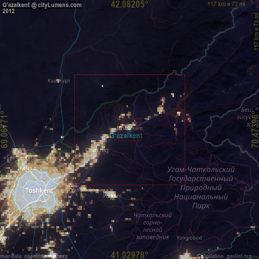
» Earth at Night: Flat Maps 2012, 2016