Tacuarembó night lights from space
Night Light of Tacuarembó from space (Uruguay) Src. Average luminocity for 10x10km area is 35.6996% and for 50x50km: 1.8056%.
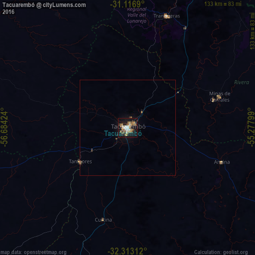
Analysis of Tacuarembó night lights 2016
Square area 10x10 km:
 5.68%
5.68%90-99
4.58%80-89
5.13%70-79
5.68%60-69
7.51%50-59
4.03%40-49
2.01%30-39
4.95%20-29
3.11%10-19
40.66%0-9
16.67%Square area 50x50 km:
0.23%90-99
0.18%80-89
0.25%70-79
0.24%60-69
0.35%50-59
0.2%40-49
0.09%30-39
0.32%20-29
0.15%10-19
1.89%0-9
96.1%Clear (daylight) street map image can be seen on geolist.org.
Map coordinates:
31° 7' 0.8" South, 56° 41' 3.3" West
31° 43' 1" South, 55° 58' 52" West
32° 18' 47.2" South, 55° 16' 40.8" West
Some cities around Tacuarembó sort by population:
• Santana do Livramento, BR
101.2 km =62.9 mi,  24°
24°
• Rivera
99.1 km =61.6 mi, 24°
• Artigas
153.6 km =95.4 mi,  342°
342°
• Dom Pedrito, BR
148.6 km =92.3 mi,  56°
56°
• Quaraí, BR
154.5 km =96 mi, 343°
• Paso de los Toros
132.2 km =82.1 mi,  202°
202°
• Tranqueras
61.5 km =38.2 mi, 20°
• Guichón
135.1 km =83.9 mi,  238°
238°
3440034 (p: 51,854)
Sources (retrieved 2019-11-25):
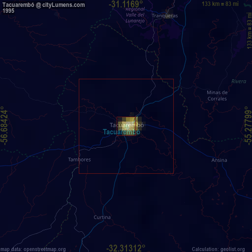
» NASA, Earths city lights 1995
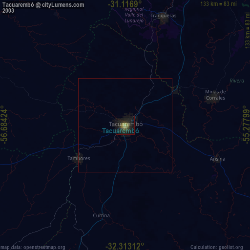
» NASA city lights 2003
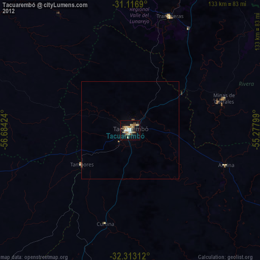
» Earth at Night: Flat Maps 2012, 2016